Importance of Drone Photography in Real Estate
In the competitive field of real estate, high-quality visual presentation can significantly influence a property's appeal and marketability. Drone photography has emerged as an essential tool for real estate professionals seeking to showcase properties with engaging, comprehensive, and aesthetically impressive imagery. Unlike traditional ground-level photos, aerial shots captured via drones provide a unique perspective, revealing aspects of the property and its surroundings that are otherwise difficult to convey.
Properties situated on expansive land, waterfront locations, or those with notable landscaping benefit greatly from drone imagery. These images highlight the scope of outdoor spaces, illustrate the property's proximity to amenities, and emphasize features such as gardens, pools, and scenic views. This broader viewpoint allows prospective buyers to grasp the full context of the property, fostering a stronger emotional connection and facilitating quicker decision-making.
For real estate marketing, drone photos serve as an attention-grabbing element that can significantly increase engagement levels across digital platforms. Listings featuring high-quality aerial images often stand out in crowded online marketplaces, attracting more inquiries and showings. Additionally, these images can deepen the narrative of a property, providing potential buyers with a compelling visual story that sets it apart from competitors.
In an environment where visual content is vital, drone photography enhances both online and offline marketing strategies. It complements virtual tours, overlaying aerial footage to offer viewers a layered understanding of the property’s landscape and spatial relationships. These perspectives not only attract attention but also build confidence in the property's features, ultimately driving higher interest and faster sales.
Legal and Regulations for Drone Photography in Miami
In Miami, conducting drone photography for real estate involves adhering to specific policies designed to ensure safety, privacy, and responsible use of aerial technology. These measures typically require proper authorization and permissions from relevant authorities prior to any aerial shoot. Real estate professionals and drone operators must understand and comply with jurisdiction-specific guidelines that govern airborne data collection.
One fundamental step involves registering drones with the appropriate local or federal agencies. This registration process often includes providing information about the drone's capabilities, intended use, and operator credentials. Compliance with established operational standards—such as maintaining line-of-sight during flights, operating within designated altitudes, and avoiding restricted areas—is crucial for seamless and trouble-free shoots.
Prior to scheduling drone sessions, obtaining necessary authorizations—such as airspace clearances or permits—is essential. Some properties situated near high-traffic zones, airports, or sensitive zones require particularly careful planning and official approval. Working with licensed drone pilots familiar with local regulations can significantly streamline this process.
Operators should also be aware of privacy considerations and rights of property owners. Ensuring that drone flights do not infringe on private spaces or create disturbances contributes to ethical aerial imaging practices. Maintaining adherence to these established protocols supports a professional and compliant approach, fostering trust between real estate stakeholders and the authorities overseeing aerial operations.
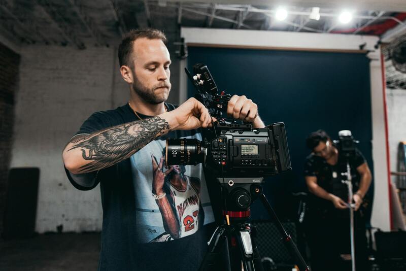
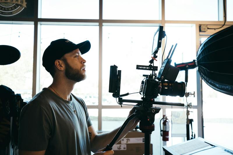
Technical Best Practices for Capturing Drone Photos in Real Estate
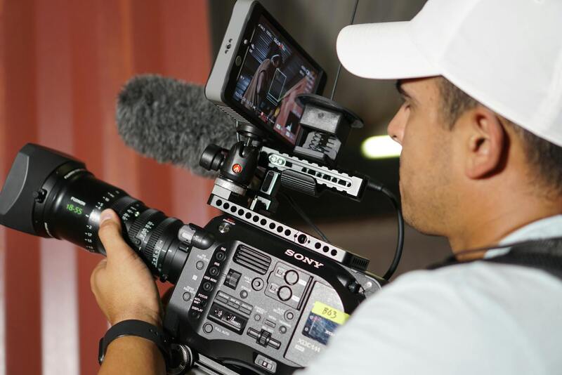
To maximize the impact of drone photography in real estate marketing, employing advanced technical practices is essential. This includes meticulously choosing the right camera settings to ensure high-resolution images that accurately depict property features. A focus on appropriate shutter speed, aperture, and ISO settings minimizes motion blur, enhances clarity, and captures vibrant colors that appeal to potential buyers.
Optimal flight planning involves selecting the best time of day for natural lighting, typically during the golden hours shortly after sunrise or before sunset. This timing produces warm, soft light that highlights property features and landscaping while reducing harsh shadows and glare that can obscure details.
Maintaining consistent altitude and flight paths is crucial for creating a cohesive visual narrative of the property. Modern drone software allows for precise waypoint programming and automated flight paths, ensuring comprehensive coverage and reducing the risk of missed angles. Overlap between images should be sufficient for panoramic stitching if necessary, resulting in seamless, high-quality composite images.
In addition, employing filters such as polarizers can reduce reflections and enhance color contrast, especially when capturing water features or glass surfaces. Calibration of camera sensors before each session guarantees color accuracy and image sharpness, underpinning professional-grade results.
Furthermore, drone operators must consistently verify GPS signal strength and maintain stable drone positioning to prevent image distortion or blurring. Remotely monitored flight parameters enable real-time adjustments, ensuring safety and obtaining the clearest possible shots.
Advanced Editing Techniques for Drone Photos in Real Estate
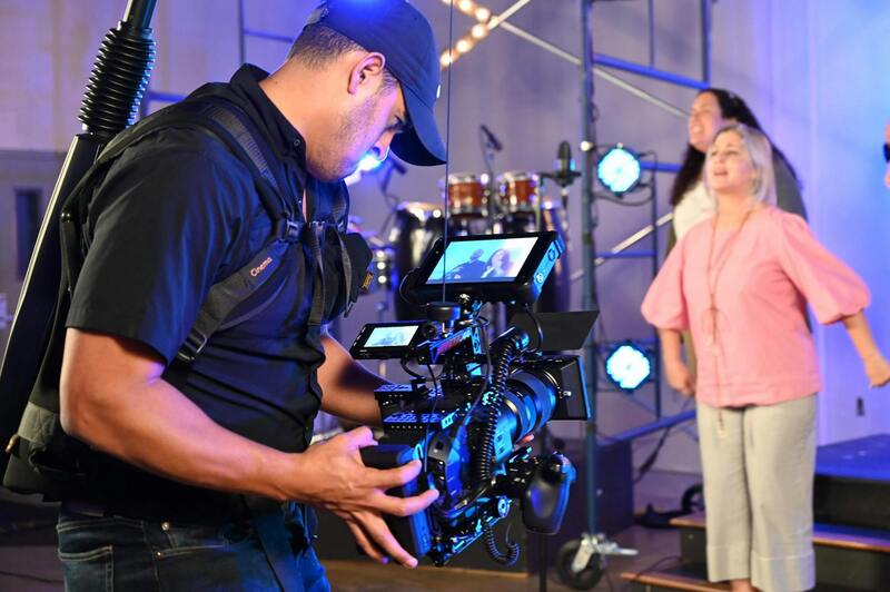
Post-production plays a vital role in refining drone images. High dynamic range (HDR) processing can balance exposed highlights and shadows, bringing out the details in both bright skies and shaded areas. Color grading enhances visual appeal and aligns the imagery with branding standards.
Panoramic stitching and 3D mapping are increasingly valuable tools for creating immersive virtual tours. When seamlessly integrated into listings, these features provide prospective buyers with comprehensive visual insights, allowing them to explore the property remotely as if on-site.
Ensuring consistency across all images maintains a professional look and reinforces the branding identity of the listing. This consistency involves uniform color schemes, perspective angles, and lighting tones, which collectively enhance the perceived quality of the property and attract serious buyers.
Adhering to Official Flight Procedures and Safety Protocols
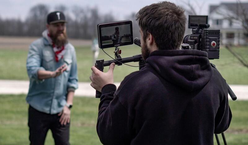
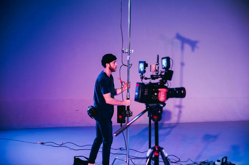
Conducting professional drone photography for real estate demands a strict adherence to established operational standards that prioritize safety, effectiveness, and image quality. Prior to each shoot, comprehensive planning involves reviewing detailed flight plans that map out flight paths, altitude controls, and specific angles to capture the property's key features. This ensures systematic coverage and prevents any unintentional interference with neighboring properties or public spaces.
Compliance with prescribed operational procedures includes verifying all drone equipment is in optimal working condition, such as batteries, propellers, GPS modules, and camera systems. Regular calibration and pre-flight checks minimize technical issues that can compromise image clarity or cause flight disruptions.

Operators are trained to manage real-time flight operations diligently, maintaining safe distances from obstacles and people while optimizing capturing angles and heights for the most effective imagery. Use of advanced flight planning software can assist in setting accurate GPS waypoints, avoiding no-fly zones, and scheduling automated missions that guarantee thorough coverage.
Additionally, understanding and respecting airspace regulations of Miami involves coordinating with relevant authorities when necessary, especially in congested or restricted areas. Maintaining proper documentation and flight logs not only demonstrates responsible operation but also serves as a record of compliance, which can be crucial if any questions about the process arise.
By following these methodical approaches, professionals ensure that each drone photography session produces high-quality, visually compelling images that effectively showcase properties while maintaining safe and compliant operations. This meticulous process builds trust with clients and exemplifies a commitment to delivering exceptional real estate marketing assets that stand out in Miami's competitive market.
Advanced Techniques for Capturing the Perfect Property Shot
Implementing advanced drone photography techniques elevates the quality and effectiveness of real estate marketing efforts. Professionals leverage multiple shooting modes, such as high dynamic range (HDR) imaging, to capture properties with optimal detail in both shadowed and brightly lit areas. Utilizing panoramic shots allows viewers to experience immersive views of the property and its surroundings, giving a comprehensive perspective that static images often cannot convey.
In addition to basic aerial views, multi-angle shots from different altitudes and trajectories enable potential buyers to visualize the property’s positioning relative to nearby amenities and landscapes. Dynamic flight paths, including orbital shots around key features like pools, gardens, or architectural attractions, make listings more engaging and memorable.
To achieve these results, professionals employ sophisticated planning software that designs precise flight plans. These plans incorporate optimal camera settings, flight altitude, and angles, ensuring consistent quality across multiple shoots. For properties with expansive grounds or unique architectural elements, multi-flight sequences may be necessary to cover all features thoroughly.
Software-based adjustments during flight, such as stabilization and tilt correction, help mitigate issues caused by wind or other environmental factors. Post-flight enhancements, including color correction, perspective adjustments, and image stitching, further refine the visuals, transforming raw footage into compelling marketing assets.
Showcasing Unique Property Features with Specialized Shots
One of the most compelling advantages of professional drone photography lies in highlighting unique aspects of a property. For example, capturing aerial views of expansive backyard landscapes, waterfront access, or custom architectural details provides prospective buyers with a sense of scale and appeal. Close-up shots from drones, known as macro or detail shots, can spotlight specific features like decorative elements, landscaping details, or outdoor amenities.
Employing time-lapse or hyper-lapse techniques during drone flights creates engaging visual narratives that emphasize the property’s ambiance or seasonal changes. These innovative approaches help listings stand out in a crowded market, offering viewers a memorable exploration that enhances emotional connection.
Ensuring Consistency and Quality Across Campaigns
Consistency in drone photography ensures that each listing maintains a high standard, reinforcing the professionalism of the real estate agent or agency. Establishing standardized protocols for shot composition, camera settings, and flight processes helps produce cohesive visual narratives across multiple properties.
Regular training and updates for drone operators on the latest equipment and shooting techniques are essential to maintaining this quality standard. Furthermore, thorough pre-shoot planning, including site reconnaissance and environmental assessment, minimizes surprises and optimizes image outcomes.
Adopting these advanced strategies not only improves visual appeal but also enhances the overall marketing effectiveness, creating more opportunities to attract and convert potential buyers. The careful integration of technical expertise and creative vision sets top-tier real estate listings apart, leveraging drone technology to its fullest potential in Miami’s competitive property market.
Types of Drone Shots for Real Estate Marketing
Effective drone photography in real estate involves capturing a variety of shots that highlight the property's strengths from multiple angles and perspectives. These shots not only provide comprehensive views of the property but also create a compelling narrative that appeals to potential buyers.
- Exterior Property Shots: Wide-angle photos showcasing the entire estate, including landscaping, driveway, and outdoor amenities. These shots establish context and scale, giving viewers an immediate understanding of the property's layout and surroundings.
- Aerial Overviews: High-altitude images that encompass the neighboring environment, nearby amenities, and community features. These shots can position the property within its broader context, especially valuable for larger estates or properties with scenic surroundings.
- Detail Close-Ups: Focused shots on specific features such as a unique architectural element, a landscaped garden, or outdoor entertainment areas. These images emphasize quality details that add appeal and differentiation.
- Interior and Exterior Transitions: Shots that smoothly transition from exterior to interior views, sometimes including drone-influenced viewpoints that provide motivational perspectives of how the property fits into its environment.
- Highlighting Unique Selling Points: Specific shots that draw attention to features like a pool, patio, or scenic view. These visuals can significantly enhance marketing materials by showcasing what makes the property unique.
In addition to traditional aerial shots, experimenting with creative angles and dynamic movements—such as orbit shots around key features or downward perspectives—can set listings apart. Using different shot types strategically ensures a comprehensive visual story that resonates with prospective buyers and provides a competitive edge in the Miami real estate market.
Cost Considerations and Choosing a Drone Photography Service
When selecting a professional drone photography service for real estate listings in Miami, understanding the associated costs and factors influencing pricing is essential. The investment in high-quality drone visuals varies depending on several elements, which include the complexity of the shoot, the level of experience of the operator, and the deliverables required.
Typically, basic drone photography packages for real estate may start at a few hundred dollars, covering a standard set of images and a brief flight session. More comprehensive packages that include multiple angles, video footage, and editing can range upwards of $500 to $1,000 or more. Larger properties, properties requiring specialized shots, or those in more challenging environments might incur additional charges due to extended flight times or the need for advanced equipment.
Key factors affecting the overall cost include:
- Property Size and Location: Larger properties require more extensive coverage. Prominent locations near scenic features or congested areas can necessitate additional planning or permissions.
- Shot Complexity: Creative or dynamic shots such as orbiting, vertical ascents, or intricate maneuvers require extra skill and time, which can increase costs.
- Post-Production: High-quality editing, color correction, and video assembly add to the workflow and valuation.
- Turnaround Time: Rushed deliveries or last-minute requests may incur additional fees.
Choosing a drone photography provider involves evaluating experience, equipment quality, and portfolio relevance to real estate marketing. An established Miami-based drone service should demonstrate adherence to safety standards, familiarity with local regulations, and a history of producing visually compelling content. Requesting samples of previous work and acquiring detailed quotes ensures alignment of expectations and budget optimization.

Careful consideration of these factors guarantees a successful collaboration, resulting in standout visuals that elevate a property listing’s appeal in Miami’s competitive market landscape.
Importance of Drone Photography in Real Estate
Drone photography has revolutionized the way real estate professionals showcase properties, particularly in vibrant markets like Miami. Aerial images provide prospective buyers with a comprehensive perspective that traditional ground-level photos cannot match. From highlighting expansive landscapes and waterfront views to emphasizing proximity to amenities and neighborhood features, drone shots elevate a property's visual appeal and informational depth. This imagery captures the full context of a property’s surroundings, giving buyers a clearer understanding of location advantages and the property’s scale. As a result, listings that incorporate high-quality drone visuals tend to attract more interest, generate faster sales, and often command higher market values.
Benefits of Using Drone Photos for Property Listings
- Enhanced Visual Impact: Aerial shots create eye-catching listings that stand out in crowded MLS feeds. They provide a cinematic view that succinctly displays the property's size and appeal.
- Comprehensive Property Presentation: From rooftops and outdoor amenities to surrounding neighborhood features, drone images deliver a holistic view that ground photos may miss.
- Showcase Unique Property Features: Large estates, waterfront access, private docks, green spaces, and landscaped gardens are best demonstrated through drone imagery.
- Faster Market Turnaround: Listings with compelling aerial visuals typically generate enhanced interest, resulting in quicker negotiations and sales.
- Attracting Broader Audience: High-quality drone photos can be utilized across multiple platforms, from online listings to social media, expanding reach and visibility.
Legal and Regulations for Drone Photography in Miami
Operating drone equipment in Miami requires adherence to specific guidelines that emphasize safety, privacy, and operational standards. This involves obtaining the necessary permits for aerial imaging, particularly for flights over densely populated or sensitive areas. Verifying the drone operator's certification and experience is crucial to ensure safe and effective execution. Effective planning involves detailed route mapping and environment assessment to avoid obstacles and uphold safety protocols. Additionally, coordination with local authorities or property owners when required helps streamline the process and avoid unnecessary delays. Working with professionals familiar with Miami’s regulatory landscape ensures that drones are used responsibly while delivering exceptional marketing visuals.
Types of Drone Shots for Real Estate Marketing
- Exterior Wide Shots: Capture the entire property, demonstrating its size and surrounding acreage.
- Viewpoint Shots: Highlight scenic vistas, waterfront access, and nearby landmarks to entice buyers seeking lifestyle benefits.
- Vertical and Top-Down Shots: Showcase roof conditions, outdoor amenities, and landscape design.
- Showcase Property Features: Focused shots on pools, patios, gardens, and architectural details to accentuate property highlights.
- Dynamic Fly-Throughs and Orbit Shots: Create engaging video tours that guide viewers around the property for a more immersive experience.
Steps to Plan and Execute Drone Photo Sessions
- Pre-Planning: Define the key highlights of the property, target shots, and desired outcomes. Ensure all permits and permissions are secured in advance.
- Scheduling: Choose optimal weather conditions and times of day to maximize lighting and minimize disruptions.
- Site Assessment: Evaluate the property layout and surroundings for potential hazards or obstructions. Establish safe flight paths.
- Equipment Preparation: Use high-resolution cameras and stabilized gimbals to ensure sharp images. Charge batteries and check drone functionality.
- Execution: Follow the established flight plan, capturing the planned shots systematically. Remain vigilant for real-time obstacles.
- Post-Flight Review: Review footage and images on-site to confirm that the desired shots were obtained. Capture additional angles if necessary.
Post-Processing and Integrating Drone Photos into Listings
High-quality images require meticulous editing to enhance visual appeal while maintaining authenticity. Adjustments may include color correction, exposure balancing, and lens correction to optimize clarity and vibrancy. Incorporating drone photos into digital listings involves strategic placement to create a compelling narrative about the property. Using these images alongside traditional ground shots provides a layered visual experience, helping potential buyers to fully grasp the property’s features. Consistent formatting and high-resolution outputs ensure professional presentation across various platforms, from MLS listings to social media promotions. Integrating aerial visuals with detailed floor plans and virtual walkthroughs amplifies the property's attractiveness and engages prospective buyers more effectively.
Cost Considerations and Choosing a Drone Photography Service
Investing in quality drone photography involves evaluating factors such as experience, equipment capabilities, and portfolio relevance to real estate. Cost considerations extend beyond the flight time, encompassing editing, post-production, and potential permit fees. It is advisable to request comprehensive quotes from multiple providers to compare offerings and ensure transparency regarding pricing. An established Miami-based drone photography service will demonstrate a consistent track record of producing high-quality images that align with real estate marketing objectives. Importance should be given to providers who prioritize safety protocols, possess necessary certifications, and hold a thorough understanding of local regulations. Reviewing sample works and client testimonials helps validate the provider’s proficiency in capturing the unique aesthetics of Miami properties, ensuring investment results in captivating visuals that attract and convert buyers.
