Benefits of Using Drone Photography in Real Estate
In the competitive real estate market, showcasing properties effectively is crucial to attracting potential buyers and increasing sale prices. Drone photography has rapidly emerged as a powerful tool that elevates property listings by providing high-quality aerial images and videos. These images offer a unique perspective that ground-level photography cannot achieve, allowing real estate professionals to highlight a property’s full scope and surrounding context.
One of the foremost advantages of incorporating drone pictures for real estate is the ability to capture expansive views of large or sprawling properties. Enthusiastic buyers can get a comprehensive understanding of the property’s layout, outdoor amenities, landscape, and proximity to notable features such as parks, lakes, or cityscapes. This broader perspective can significantly influence a buyer’s interest and decision-making process.
Additionally, drone images excel in demonstrating the architectural details and design elements of properties that are often difficult to showcase with traditional ground photography. From the intricacies of a roof design to the spatial relationship between various structures on a property, aerial shots add depth to listings that helps buyers imagine themselves living there.
Moreover, drone footage can play a vital role in social media marketing. Moving beyond static images, high-quality drone videos can weave compelling visual stories around the property, making listings more engaging and shareable. This heightened online visibility is instrumental in attracting a larger pool of prospective buyers.

Another significant benefit lies in the ability of drone images to demonstrate the accessibility and surrounding environment of the property. Potential buyers can assess commute times, neighborhood dynamics, nearby attractions, and lifestyle factors that influence their purchasing decisions.
Overall, the strategic use of drone photography in real estate listings improves visual storytelling, emphasizes key property features, and creates a competitive edge in the crowded housing market.
Types of Drone Shots for Real Estate Listings
To maximize the appeal of a property, utilizing diverse drone shot types is essential. Each shot type offers unique advantages in highlighting different aspects of a property and its surroundings, contributing to a richer visual presentation that resonates with prospective buyers.
One primary technique involves exterior shots that showcase the full façade of the property. These images often include a top-down view or angled perspectives that emphasize architectural features, driveway layouts, and gardens. Such shots are particularly effective in illustrating the property's curb appeal and immediate environment.
Aerial videos further enhance the listing by providing dynamic footage that captures the property in motion. These videos are ideal for demonstrating the spatial relationship between structures, outdoor amenities, and surrounding landscape features. Smooth, well-composed drone footage can evoke a sense of scale and ambiance that static images may not fully convey.
Neighborhood views serve as an integral part of a comprehensive real estate presentation. By incorporating shots that encompass community amenities, nearby parks, schools, and commercial areas, potential buyers gain a better understanding of the lifestyle that accompanies the property. These visuals can subtly communicate the desirability and convenience of the location.
Additionally, establishing shots that include the entire property estate help illustrate boundaries, land size, and outdoor space. This is especially relevant for larger properties, estates, or farms where land features are a key selling point.
When orchestrated carefully, combining various drone shot types creates a compelling visual narrative. This approach not only captures the property’s attributes but also enhances overall listing engagement, drawing in a broader audience and encouraging more inquiries.
Official Methods for Capturing Drone Pictures for Real Estate
Utilizing drone photography to showcase real estate property listings demands adherence to established procedures and professionalism. To produce high-quality, impactful drone images, it is essential to follow reliable and officially sanctioned methods. This ensures the resulting visuals accurately represent the property while maintaining safety and compliance standards.
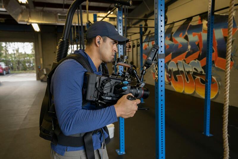
One fundamental aspect involves employing certified drone operators who possess comprehensive training and certification through recognized programs. These professionals are well-versed in operating drones within designated operational parameters, ensuring consistent quality and safety during aerial shoots. Their expertise guarantees that each shot captures the property from optimal angles, highlighting key features and spatial relationships.
Pre-production planning constitutes a critical phase, where detailed strategies outline specific shot lists, flight paths, and angles. This planning guarantees coverage of all necessary aspects of the property, from sprawling land parcels to intricate architectural details. A thorough plan also minimizes flight time, reduces the risk of capturing unusable footage, and ensures a seamless workflow.
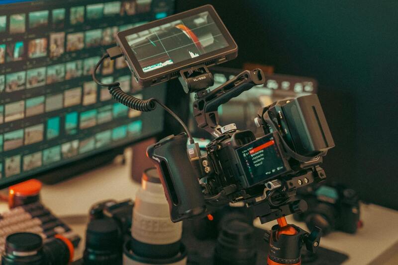
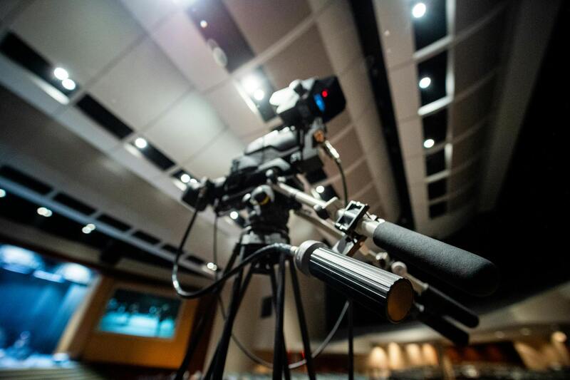
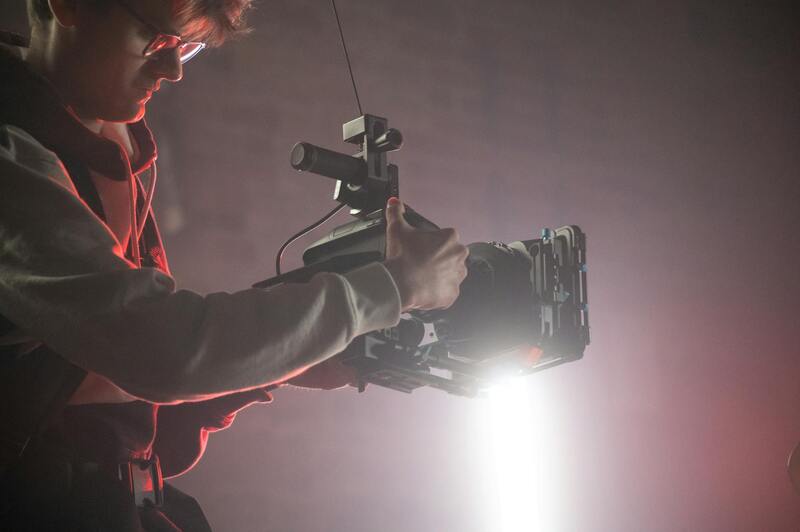
When conducting aerial shoots, the selection of appropriate drone equipment is vital. High-resolution cameras equipped with stabilizing gimbals produce sharp, clear images regardless of wind conditions or flight movements. Utilizing multiple shooting modes and accessories, such as filters or panoramic capabilities, enhances the visual quality and variety.
During flight operations, maintaining situational awareness is paramount. Operators carefully observe weather conditions, airspace restrictions, and obstacle placement to execute safe and effective flights. They also adhere to altitude and distance limits established by relevant standards to avoid interference and ensure consistent image quality.
Post-flight processes involve meticulous editing using professional editing software. Adjustments for brightness, contrast, and color correction refine the images, ensuring they meet the aesthetic and informational standards required for real estate marketing. Optimizing image resolution and file size enhances online loading times without sacrificing visual fidelity.
Officially obtained drone images are further enhanced by adding informative overlays when necessary, such as property boundaries or key features, which can be incorporated into marketing materials. This attention to detail exemplifies a commitment to transparency and professionalism.
Choosing a service provider with proven experience, proper licensing, and a portfolio of commercial drone work supports the creation of compelling, compliant imagery. Such providers often offer end-to-end solutions, from initial planning through post-production, streamlining the process and ensuring high standards at every stage.
Implementing these official methods for drone photography aligns with industry best practices, fostering trust and enhancing the perceived value of property listings. The resulting high-quality images serve as powerful marketing tools capable of attracting a wider audience and accelerating property sales timeframes.
Ensuring Compliance Through Proper Flight Protocols
Adhering to established flight protocols is fundamental when deploying drones for real estate imagery, especially in bustling urban environments like Miami. This involves meticulous planning of flight paths to avoid navigational hazards such as high-rise structures, power lines, and dense tree canopies. Pre-flight reconnaissance ensures that the drone's route minimizes risks and maximizes image coverage of the property and surrounding amenities.
Utilizing FAA-registered drones operated by certified pilots who follow predefined flight plans minimizes potential disruptions and guarantees consistent image quality. These operators employ terrain-aware flight software that helps maintain stable positioning and optimal angles, resulting in sharp, detailed visuals that highlight property features. Additionally, adherence to altitude restrictions preserves the safety of both the drone and others in the vicinity, maintaining an unobstructed visual flow suitable for marketing purposes.
Utilization of Official Equipment and Software
Officially sanctioned drone hardware and software are integral to producing professional-grade real estate visuals. High-resolution cameras with interchangeable lenses allow for capturing both expansive property shots and detailed close-ups. Gimbals stabilize the camera, reducing motion blur and ensuring crisp images regardless of environmental conditions.
Image capturing software that integrates with drone controls enables real-time feedback and precise adjustments during flights. Post-flight, professional editing software transforms raw footage into polished visual assets. Adjustments for exposure, sharpness, and color fidelity align images with marketing standards, emphasizing key property features.
This combination of certified equipment and software ensures that all visual materials adhere to industry best practices, enhancing the property's appeal and reinforcing the professionalism of the marketing campaign.
Legal Considerations for Drone Use in Miami
Operating drones for real estate purposes within Miami requires strict adherence to established protocols that govern aerial photography practices. These procedures ensure responsible and effective drone operations, safeguarding property views, privacy, and safety during flights. Professionals engaged in drone photography must navigate multiple layers of regulations, including obtaining necessary flight permissions and understanding designated no-fly zones, especially in proximity to sensitive locations such as commercial districts, parks, and private properties.
Preparation begins with comprehensive flight planning. This involves detailed mapping of the property site, assessing surrounding airspace, and planning flight paths that provide optimal angles while respecting altitude restrictions. Photographers should utilize official tools to verify the status of airspace and identify any temporary restrictions that may be in place due to events or construction activities. Effective planning minimizes disruptions and maximizes the quality of footage captured from various vantage points.
Within the scope of drone operation, maintaining accurate records of each flight session is essential. This includes documenting flight times, locations, and the specific images or videos obtained. Such documentation ensures accountability and provides a clear record should any questions about the footage arise. Moreover, professional operators often develop contingency plans for adverse weather conditions or technical issues, safeguarding the continuity and quality of the shoot.
To uphold high standards of aerial imaging, operators are encouraged to use officially approved software for flight control and image capture. These tools often include features for automatic flight logging, geo-tagging, and real-time monitoring. When flights are completed, images and videos should be reviewed with precision to confirm compliance with established flight paths and image quality standards.
Post-flight procedures are equally crucial. This involves sorting and archiving footage systematically, followed by meticulous editing to enhance visual clarity and highlight property features. Ethical practices in editing—such as accurate color correction and exposure adjustment—help preserve the authenticity of the property’s true appearance. By following these official protocols, real estate professionals ensure their drone imagery enhances listing presentations effectively while maintaining trust with clients and prospects.
Legal Considerations for Drone Use in Miami
Operating drones for real estate imaging in Miami requires adherence to specific operational standards designed to ensure safe and responsible flight practices. These standards emphasize the importance of obtaining necessary permissions, understanding airspace classifications, and respecting privacy boundaries within the community. Although specific licenses are part of the official framework, professionals engaging in drone photography proactively consult updated guidance from local civil aviation authorities and use officially sanctioned tools for mapping and navigation. Employing certified software for flight planning and control helps mitigate risks and maintains alignment with state and federal regulations that govern aerial activities.
Additionally, comprehensive pre-flight planning involves checking weather conditions meticulously, planning flight paths to avoid sensitive areas, and ensuring all equipment functions correctly before each session. This preparation minimizes unforeseen issues and promotes the integrity of the captured images. Record-keeping practices, such as maintaining detailed logs of flight operations, help demonstrate compliance and accountability in every stage of drone usage. Using off-the-shelf, officially approved apps and hardware ensures that all operations are performed within the parameters established by regulatory agencies, fostering professionalism and safety in every project.
Furthermore, it's essential to stay updated on any changes to local drone operation guidelines, which can evolve rapidly in response to technological advancements and community needs. Participating in certified training sessions provides a comprehensive understanding of safe flying practices and compliance measures, enabling operators to execute flights confidently and ethically. Integrating these standardized practices into every project underscores a commitment to professionalism and enhances the quality and trustworthiness of the drone imagery used in Miami real estate marketing.
Best Practices for Drone Photography in Real Estate
When utilizing drone photography to showcase Miami’s real estate, adhering to proven best practices ensures the delivery of high-quality, impactful images that resonate with potential buyers. First, conducting thorough pre-flight planning is crucial. This involves scouting the property beforehand to determine optimal flight angles, lighting conditions, and times of day that highlight the property’s best features. Early morning or late afternoon typically offer natural lighting that enhances shadows and textures without overexposure.
Weather assessment remains essential, as wind, rain, or excessive cloud cover can compromise image clarity and safety. Calm, clear days are ideal for drone operations. Ensuring proper calibration of the drone’s camera system prior to each shoot guarantees sharp, well-exposed images. It’s also important to set appropriate camera parameters—including resolution, shutter speed, aperture, and ISO—to capture detailed, vibrant visuals.
During the flight, maintaining a steady altitude and smooth movements minimizes motion blur and produces professional-grade footage. Employing automated flight modes can help achieve consistent results, especially when capturing panoramic shots or high-elevation perspectives. Careful planning of flight paths allows for comprehensive coverage of the property, including aerial views of the roof, backyard, and surrounding landscape.
Post-flight, meticulous editing and color correction refine the images, ensuring they reflect the true beauty of the property while appealing visually to prospective buyers. Using specialized software, adjustments can be made to enhance exposure, contrast, and sharpness, emphasizing key features of the home and its environment. Additionally, incorporating virtual staging or other digital enhancements can further elevate the property's presentation.
Implementing these best practices guarantees that drone images not only meet professional standards but also effectively support marketing strategies aimed at attracting serious inquiries. High-quality aerial photos open new perspectives for viewers, enabling them to appreciate the full scope of the property—something static ground shots simply cannot achieve.
Utilizing Authentic Methods to Capture Drone Pictures for Real Estate
In the realm of professional real estate marketing, high-quality drone imagery depends heavily on the equipment and techniques employed by skilled operators. Ensuring the authenticity of drone pictures involves leveraging approved methods and adhering to sound operational procedures that guarantee the images are both impressive and compliant.
Investing in Certified Drone Technology
The foundation of creating compelling drone images for property listings lies in choosing the appropriate drone platforms. Certified drones equipped with high-resolution cameras and stabilized gimbals are essential for capturing sharp, detailed aerial views. These devices typically have advanced sensors and quality optics that reproduce the property's features accurately, providing potential buyers with a clear visual understanding.
Complementing hardware choices, operators should utilize professional-grade image capture settings. Techniques such as HDR imaging, proper focus control, and precise exposure adjustments are crucial. These practices enable the production of images that reflect true colors and textures without distortion or artifacts, which is vital for trustworthy property representation.
Professional Flight Planning and Execution
Legitimate drone photography necessitates meticulous planning of flight paths and shot compositions. This includes evaluating wind conditions, optimal flight altitudes, and safe operational distances from structures and individuals. Pre-mapping flight routes ensures comprehensive coverage of the property, including exterior facades, surrounding landscapes, and unique architectural features.
During operation, maintaining steady camera angles and smooth flight motions avoids jitter and motion blur, which could otherwise diminish image quality. Automated flight modes within certified drones can support consistent results, especially when capturing panoramic or high-angle views. The use of real-time monitoring allows the operator to adjust flight parameters dynamically, ensuring images meet professional standards.
Post-Processing and Image Validation
Once images are captured, a structured editing process enhances their visual appeal while retaining authenticity. Color correction, contrast adjustment, and noise reduction should be performed with software tools that preserve the integrity of the original shot. This careful editing process highlights key property features and ensures visual consistency across the marketing portfolio.
Validating images through accurate metadata and quality checks confirms that all visuals are obtained through legitimate channels and procedures. This transparency reassures clients and stakeholders of the authenticity and professionalism underpinning the marketing campaign.
Adhering to Operational Standards
Maintaining a consistent and documented operational process ensures the integrity of drone images used for real estate marketing. This includes record-keeping of flight logs, equipment calibration, and operator certifications. These practices uphold the rigorous standards expected by high-end property developers and brokers in Miami.
