Importance of Drone Photography in Miami Real Estate
In the highly competitive Miami real estate market, showcasing properties through innovative and engaging visuals has become essential for attracting prospective buyers and standing out from the competition. Drone photography offers a distinctive perspective that traditional ground-level images cannot provide, capturing expansive views of both the property and its surrounding environment. This capability is particularly valuable in Miami, where waterfront properties, sprawling estates, and urban developments benefit immensely from aerial imaging.
High-quality drone footage allows real estate professionals to highlight key features such as the property's layout, outdoor amenities, and scenic surroundings. It provides a panoramic view that can convey the true scale and appeal of a property, especially for luxury listings where exterior aesthetics are as important as interior features. Moreover, drone images and videos can demonstrate proximity to local attractions, beaches, parks, and commercial corridors, making listings more comprehensive and compelling.
Potential buyers are increasingly relying on digital listings as their primary point of contact with properties. Well-executed drone visuals can lead to increased engagement, longer viewing times, and a higher likelihood of inquiry and open house attendance. For real estate agents, employing drone photography methods means providing a broader, more informative perspective that guides buyers intuitively through the property's key selling points.
Market Differentiation and Competitive Edge
In a dynamic city like Miami, where off-market and exclusive properties are common, drone imagery helps agents differentiate their listings. By incorporating striking aerial photos and videos, real estate professionals position their properties as premium offerings, appealing especially to buyers seeking luxury estates or waterfront views. This visual edge often results in faster transactions and better market positioning.
Furthermore, drone footage is versatile and can be integrated into virtual tours, social media campaigns, and online advertisements, amplifying a property's visibility across multiple channels. As technology advances, the use of high-resolution images and 4K video from drones continues to elevate real estate marketing standards in Miami.
Legal and Regulatory Considerations for Drone Use
When integrating drone photography into real estate marketing in Miami, it is essential to adhere to established operational guidelines to ensure safety, privacy, and the smooth execution of aerial captures. This involves understanding the specific permits required for commercial drone use within the city and the broader federal regulations that govern UAV operations in the United States. Securing appropriate permissions not only facilitates compliant operations but also enhances the professionalism and reliability of the service provider.
Operators must familiarize themselves with the Federal Aviation Administration (FAA) regulations that oversee drone flights, especially those related to commercial use. These include registering the drone with the FAA, adhering to altitude restrictions, maintaining line-of-sight during flight, and avoiding restricted or controlled airspace zones, such as near airports or military installations. Miami, being a vibrant urban hub, has specific areas where drone operations can be limited or require additional authorization.
Privacy considerations also play a significant role in the deployment of drones in residential areas. Respecting the privacy of neighboring properties and complying with local ordinances helps prevent conflicts and fosters trust with clients and the community. It is advisable to conduct comprehensive site assessments before the shoot, identify no-fly zones, and communicate plans transparently with property owners and neighbors.
Professional drone operators often work with local authorities and legal consultants to ensure all necessary permits are secured prior to shooting. This proactive approach streamlines the process, minimizes risks of interruptions, and reinforces the reputation of the real estate agency or service provider as a responsible professional. Also, maintaining detailed flight logs and documenting compliance efforts can prove valuable if questions arise about drone activities.
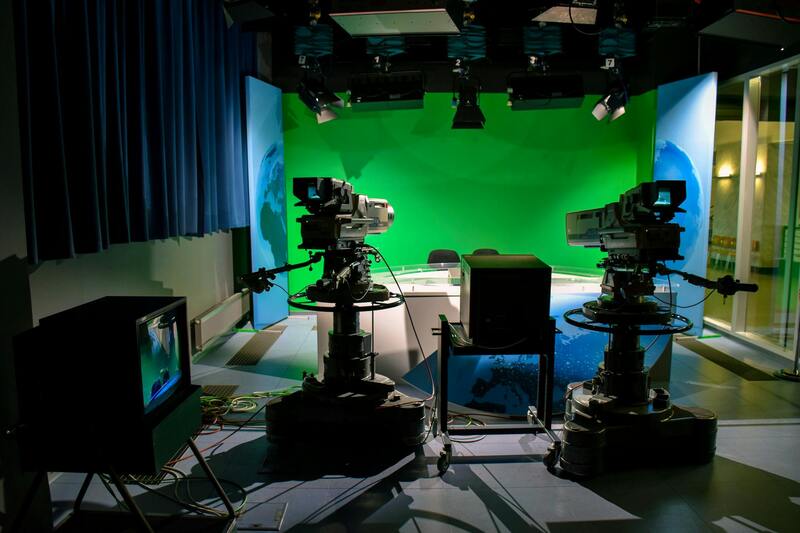
Equipment and Technology for Real Estate Drone Photography
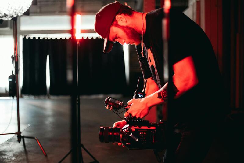
A successful drone-based real estate marketing strategy relies heavily on the right equipment. High-quality drones equipped with advanced stabilization systems and high-resolution cameras are essential for capturing clear, vibrant images and smooth video footage. For Miami properties, especially those with waterfront or expansive landscapes, drones with extended flight times and wide-angle lenses provide the best results.
Recent technological advancements include 4K and 5K video capabilities, high-dynamic-range imaging, and intelligent flight modes that facilitate complex shots with minimal manual control. Gimbals and vibration dampers help stabilize footage, especially in windy Miami conditions, ensuring crisp visuals that highlight the property's features and surroundings effectively.
Furthermore, drone software platforms enable automated flight paths, real-time monitoring, and enhanced safety features. Integrating thermal imaging or multispectral sensors can also provide additional data layers, emphasizing environmental aspects or property boundaries. Selecting equipment that matches the specific requirements of each property ensures high-quality content delivery, reinforcing the marketing impact of drone photography efforts.
Best Practices for Shooting Real Estate with Drones
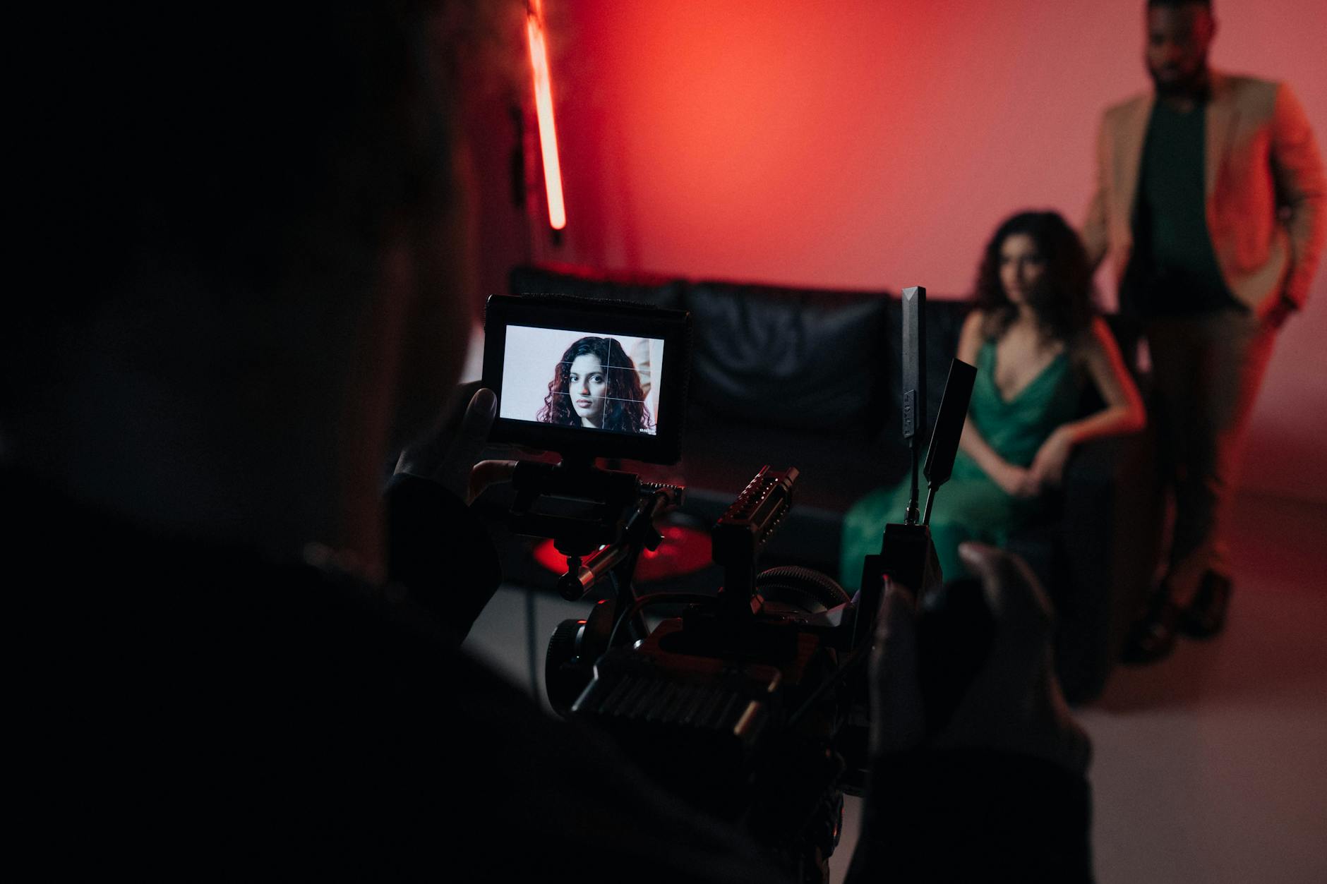
Executing effective drone shoots for Miami real estate involves meticulous planning and adherence to best practices to maximize visual appeal. First, scouting the property beforehand helps identify the most striking angles and optimal times of day for lighting conditions, such as early mornings or late afternoons when sunlight enhances both exterior and landscape features.
During the flight, maintaining a steady altitude and smooth camera movements is crucial for professional-looking footage. Utilizing automated flight modes and pre-programmed paths can ensure consistency and efficiency. It’s also important to capture a variety of shots—combining wide overhead views with closer, detailed shots of architectural elements and landscaping—to create a comprehensive visual narrative of the property.
- Pre-planning flight routes to minimize flight time and reduce battery consumption.
- Ensuring sufficient lighting, especially in Miami’s bright and sunny climate.
- Varying angles and perspectives to highlight property features and nearby amenities.
- Avoiding excessive drone noise that might disturb residents or neighbors.
- Conducting post-flight reviews to check footage quality and identify necessary retakes.
By following these practices, real estate professionals gain high-quality visuals that effectively showcase property highlights, attracting more serious buyers and enhancing marketing strategies across digital channels.
Legal and Regulatory Considerations for Drone Use
Successfully incorporating drone photography into Miami real estate marketing requires adherence to established procedures that govern aerial imaging activities. A comprehensive understanding of the regulatory landscape ensures that every flight operation aligns with official guidance and industry standards. This includes obtaining necessary authorizations and adhering to flight restrictions that preserve public safety and community interests.
Prior to conducting any drone shoot, professionals should coordinate with local authorities and review existing frameworks that outline designated flight zones, altitude limits, and no-fly regions. This proactive approach also involves maintaining detailed flight logs, which document the purpose, date, time, and location of each session. Such records facilitate transparency and demonstrate compliance with established protocols.
Operators should also familiarize themselves with the technical and operational standards set forth by relevant agencies, such as altitude restrictions and privacy considerations. For example, avoiding flights over private property without permission or exceeding altitude limits helps prevent misunderstandings and ensures respectful engagement with the community. Employing pre-flight checklists and safety protocols further supports responsible drone operations that uphold industry best practices.
By maintaining rigorous documentation, following prescribed flight plans, and respecting community boundaries, real estate professionals can confidently leverage drone technology to produce captivating visual content while fostering trust and professionalism in their services. This disciplined approach not only optimizes the quality of imagery but also positions practitioners as responsible custodians of aerial data in the Miami real estate market.
Equipment and Technology for Real Estate Drone Photography
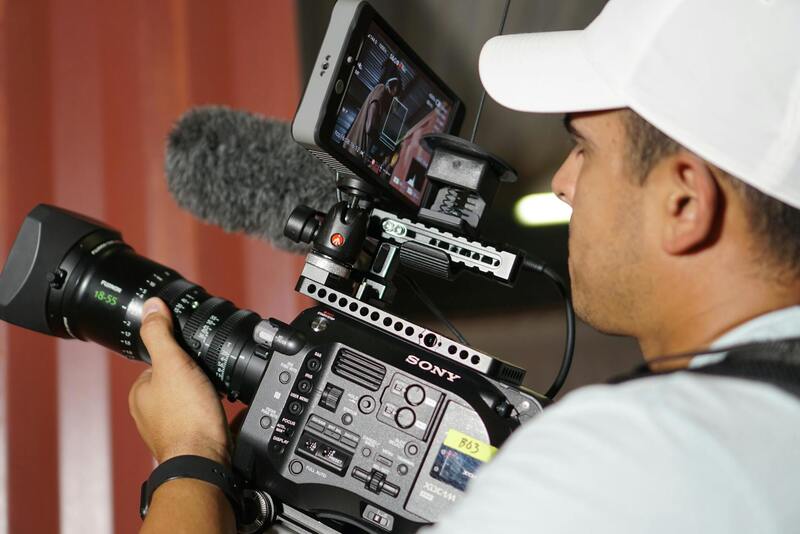
Selecting the appropriate equipment is crucial for capturing high-quality images and videos that showcase Miami properties effectively. Modern drone technology offers a range of options tailored to the unique demands of real estate marketing. Professionals should prioritize drones equipped with high-resolution cameras, stabilizing gimbals, and advanced flight controls to ensure crisp, steady footage. These features allow for capturing sweeping aerial shots that highlight the property's exterior, landscaping, and surrounding amenities with precision and clarity.
In addition to the drone itself, accessories such as spare batteries, remote controllers, and high-capacity storage devices are essential for extended shooting sessions. For optimal results, operators should utilize drones with intelligent flight modes, such as automated waypoint navigation and obstacle avoidance, enhancing safety and ease of operation. Enhanced cameras with large sensors and wide-angle lenses facilitate detailed, expansive views of properties, enabling viewers to appreciate both interior and exterior layouts seamlessly.

The choice of software for image processing and editing plays a vital role in refining raw footage. Advanced editing tools allow professionals to adjust lighting, color balance, and perspective, ensuring each property is presented in the best possible light. Additionally, integrating 3D modeling software can provide virtual walkthroughs, further enriching the marketing content. Consistent investment in current technology and continual training on new drone features ensure practitioners maintain competitive advantage in the Miami real estate market.
Moreover, understanding the specifications of different drone models helps in complying with industry standards for safety and quality. Drones with integrated GPS capabilities enable precise aerial positioning, essential for capturing consistent shots across various properties. For real estate professionals, leveraging the latest in drone hardware and software technologies translates directly into more engaging, professional-looking content that attracts potential buyers and enhances listing visibility.
Effective Shooting Techniques and Camera Settings
Achieving stunning imagery for real estate listings through drone photography requires meticulous attention to camera settings and shooting techniques. Properly adjusted shutter speed, ISO, and aperture help in capturing clear, well-exposed images that showcase the property's features accurately. When photographing exteriors, using a narrow aperture can increase depth of field, ensuring that both foreground and background remain in sharp focus. Interior shots benefit from a higher ISO setting if lighting is limited, but it is essential to balance this to avoid excessive noise.
Golden hour shooting, which occurs shortly after sunrise or before sunset, is highly favored for drone real estate photography. The soft, warm light enhances property aesthetics and creates appealing shadows, adding depth and dimension to images. Utilizing manual focus rather than auto focus can prevent unwanted shifts during flight, ensuring sharpness throughout the footage.
To maximize the visual impact, pilots should execute smooth, deliberate movements, avoiding abrupt directional changes. Utilizing automated flight paths with specific waypoints ensures consistent shot composition across multiple properties. Maintaining optimal altitude—often between 50 to 150 feet—provides a balance between expansive views and detailed representations of the property.
Implementing panoramic or 360-degree shots allows potential buyers to gain a comprehensive understanding of the property's layout and surroundings. For interior views, adjusting the gimbal to keep the camera level and stable results in smooth, professional footage. Utilizing proper ND filters can also help control exposure in bright conditions, preventing overexposed highlights or washed-out images.
Ensuring Consistency and Compliance in Drone Operations
Standardized procedures for drone operations help produce a cohesive portfolio of real estate visuals that emphasize the property's best features. Regular calibration of drone sensors and cameras ensures color consistency across shoots, reinforcing the quality of marketing materials.
Adhering to recommended flight protocols—such as maintaining line-of-sight, avoiding congested areas, and respecting property boundaries—enhances safety and efficiency. Pre-visit site assessments allow operators to plan optimal flight paths and identify potential obstacles like power lines or tall structures. This planning minimizes the risk of mid-flight disruptions and ensures that the footage captures the property from the most appealing angles.
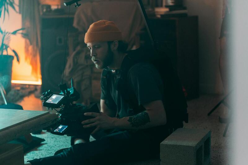
Post-Processing and Editing of Drone Footage
Effective post-processing elevates raw drone footage into compelling visual narratives that attract prospective buyers. High-quality editing not only enhances the aesthetic appeal but also ensures the footage aligns with the overall branding of the property. Techniques such as color correction and grading are essential for maintaining consistency across images and videos, making sure every shot accurately reflects the property's true appearance. To create a seamless viewing experience, stabilization of footage is crucial. Shaky or jittery clips can detract from the professionalism of the presentation, so utilizing software that offers advanced stabilization algorithms can significantly improve the final output. Additionally, noise reduction techniques help clean up footage shot in lower-light conditions, resulting in clearer images. Motion graphics and text overlays provide context or highlight key features within the footage, guiding viewers' attention to the most attractive aspects of the property. When used judiciously, these elements complement the visuals without overwhelming them. Another vital aspect involves the integration of high dynamic range (HDR) processing. HDR allows for a more balanced exposure throughout the video, capturing shadow details and bright highlights simultaneously—a critical factor when showcasing properties with contrasting lighting conditions. Video editing software that supports multi-layer editing enables the combination of drone footage with other media assets, such as interior shots or schematic overlays. This layered approach creates comprehensive virtual tours that deliver an immersive experience to potential buyers. Ensuring the right pace and sequence in editing can also influence viewer engagement. Smooth transitions between shots, paired with well-timed cuts, help maintain viewer interest and highlight the property's most appealing features. Finally, optimizing the final video for various platforms, including social media, online listings, and virtual tour websites, maximizes exposure. Using appropriate resolution settings and aspect ratios ensures that the footage remains crisp and engaging across different devices and viewing environments.
Equipment and Technology for Real Estate Drone Photography
To produce stunning and accurate aerial images of Miami properties, leveraging the latest drone technology and professional-grade equipment is essential. High-resolution cameras with stabilized gimbals ensure sharp, clear footage that captures the full scale and appeal of a property. Cameras capable of shooting in 4K resolution or higher are standard, providing the detail necessary for impressive virtual tours and marketing materials.
Flight controllers equipped with GPS and autonomous flight capabilities facilitate precise positioning, allowing for consistent shot framing and smooth flight paths. Obstacle avoidance sensors are indispensable for safe operation, particularly in complex environments like densely built areas or near tall structures common in Miami. These sensors help prevent accidents that could compromise equipment or delay projects.
Battery life is another critical consideration. Longer flight times enable comprehensive coverage of large properties or multiple angles without interruption. Many professionals opt for drones that support rapid battery swaps, minimizing downtime between flights. Additionally, professional-grade transmitters and controllers improve responsiveness and stability during operation, resulting in better shot accuracy.
Incorporating multi-spectral or high dynamic range (HDR) cameras can significantly enhance image quality, capturing vibrant details in varied lighting conditions often encountered in sunny Miami environments. These technological advancements allow for more dynamic visuals that highlight a property's features under any lighting scenario.
Furthermore, the integration of real-time video transmission and live feed capabilities provides immediate feedback during shoots, allowing operators to make adjustments on the fly for optimal results. This combination of sophisticated hardware and smart software ensures that real estate professionals receive visually compelling content that meets high standards.
Best Practices for Shooting Real Estate with Drones
Executing effective drone shoots involves detailed planning and adherence to professional techniques. Pre-flight preparation includes assessing the property's surroundings for optimal flight paths and ensuring that all equipment is functioning correctly. Establishing a flight plan that considers natural light, weather conditions, and potential obstructions helps capture the property in its best light.
During the shoot, maintaining steady, smooth flight movements is crucial. Using automated flight modes can assist in achieving consistent, sweeping shots that showcase the property's exterior and surrounding landscape. Shooting at different angles—top-down, oblique, and panoramic—provides a comprehensive visual narrative of the property’s features.
Capturing high-angle shots from various elevations emphasizes the property's size and layout, offering prospective buyers a sense of space and scale. Conducting multiple passes from different vantage points ensures a diverse set of visuals for post-production editing and marketing uses.
Post-Processing and Editing of Drone Footage
Once the aerial footage is collected, professional editing enhances its impact and clarity. Color grading adjusts exposure, contrast, and saturation to produce visually appealing images that accurately represent the property. High dynamic range (HDR) processing is often employed to balance lighting disparities between shadowed and sunlit areas.
Stabilization filters smooth any minor camera jitters, resulting in seamless and professional-looking videos. Adding overlays, labels, or descriptive text can direct viewers' attention to specific features, such as expansive yards, swimming pools, or scenic views.
Transitions between shots should flow naturally, maintaining viewer engagement and emphasizing key aspects of the property. Background music and voice-over narration, when used, should complement the visuals without overpowering them, creating a compelling virtual tour experience.
Advanced Techniques and Innovations in Real Estate Drone Photography
As the industry continues to evolve, the application of cutting-edge technology and innovative techniques significantly enhances the effectiveness of real estate drone photography. Professionals often explore multi-spectral imaging, which allows the capture of data beyond visible light, providing unique insights into property features such as landscape health, material quality, and even thermal performance. While primarily used in specialized contexts, these advanced imaging methods can add value when showcasing large estates or properties with complex amenities.
Furthermore, the adoption of high-dynamic-range (HDR) imaging and advanced stabilization systems ensures that drone footage maintains clarity and professional quality, even in challenging lighting conditions or windy environments. Transparent focus stacking and multi-angle captures also allow for creating immersive virtual tours or 3D walkthroughs, giving prospective buyers a comprehensive view of the property from various perspectives.
Future Technologies Shaping the Industry
- Artificial Intelligence (AI) Integration: AI-powered editing tools streamline post-production, automatically enhancing footage, correcting distortions, and even identifying the most appealing shots based on established marketing criteria.
- Autonomous Flight Systems: Advances in autonomous drone technology allow for complex flight patterns and intricate shot compositions without operator intervention, increasing safety and efficiency.
- High-Resolution and 8K Video: Emerging high-resolution formats enable ultra-sharp visuals that satisfy the increasing demand for cinematic-quality property presentations.
- Extended Flight Battery Life: New battery technologies ensure longer flight times, facilitating comprehensive captures of large estates and multiple vantage points in a single flight session.
- Integration with Building Information Modeling (BIM): Combining drone footage with BIM models provides detailed visual alignments of property layouts and infrastructure elements, useful for commercial real estate and large-scale developments.
Emerging Best Practices for Drone Photography
- Pre-Flight Planning: Meticulous planning using detailed site surveys and weather assessments ensures optimal flight paths and minimizes unexpected disruptions.
- Consistency in Shot Composition: Standardized angles, altitudes, and framing approaches facilitate cohesive marketing materials and easier updates.
- Safety and Privacy Measures: Using designated flight zones, respecting property boundaries, and maintaining clear communication with clients help foster trust and professionalism in drone operations.
- High-Quality Equipment Investment: Prioritizing professional-grade drones with stabilized gimbals, high-resolution cameras, and comprehensive control systems enhances output quality and service reliability.
- Continuous Skill Development: Staying updated through industry workshops, certifications, and peer collaborations ensures the adoption of latest techniques and compliance with evolving standards.

