Overview of Aerial House Photography
Aerial house photography has become an essential component in modern real estate marketing, offering a unique perspective that elevates property presentation beyond traditional ground-level shots. This visual technique utilizes specialized equipment to capture expansive, high-quality images of residential properties from the sky, providing potential buyers and investors with a comprehensive view of the home's architecture, surrounding landscape, and neighborhood context. In Miami, a vibrant real estate market characterized by luxurious waterfront estates and modern developments, aerial photography serves as a powerful tool to showcase property features that are often difficult to convey through standard images alone.
The significance of aerial house photography extends to enhancing listings' visual appeal, attracting a broader audience, and facilitating better decision-making by providing clear, detailed imagery of property layouts and environmental surroundings. Its ability to capture scenic views, outdoor amenities, and proximity to key locations makes it particularly valuable in the Miami area, where waterfront access, community features, and landscaping are highly influential in property value. As digital marketing continues to evolve, aerial photography stands out as a compelling method for real estate professionals to differentiate their listings and drive faster sales.

The integration of advanced aerial imaging techniques into property marketing strategies affirms the importance of professional-grade photography in the competitive Miami real estate landscape. It provides a comprehensive visual story that complements traditional interior and façade photographs, delivering an immersive experience for viewers. As the demand for high-impact visual content grows, aerial house photography continues to evolve as a vital asset for real estate professionals aiming to maximize property exposure and appeal.
Types of Aerial Photography Equipment
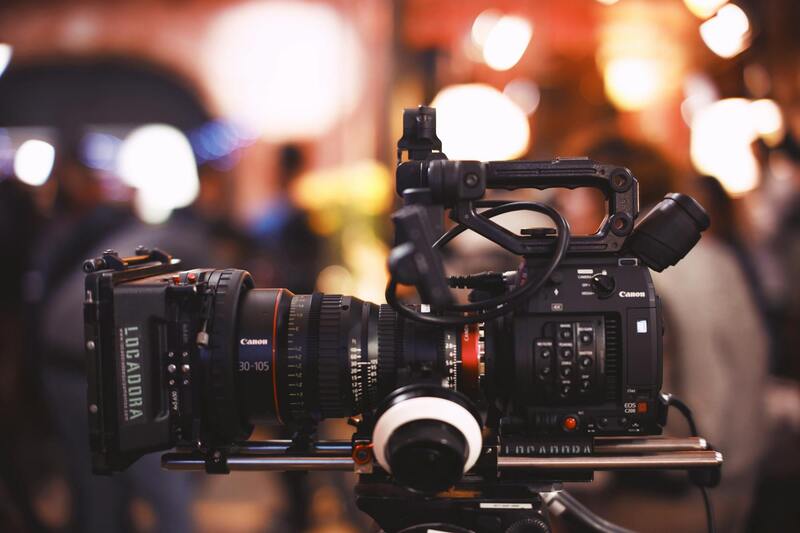
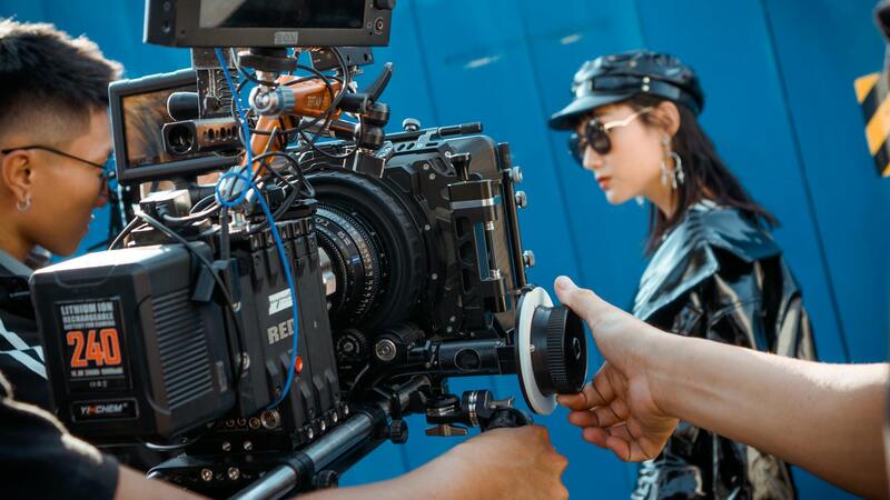
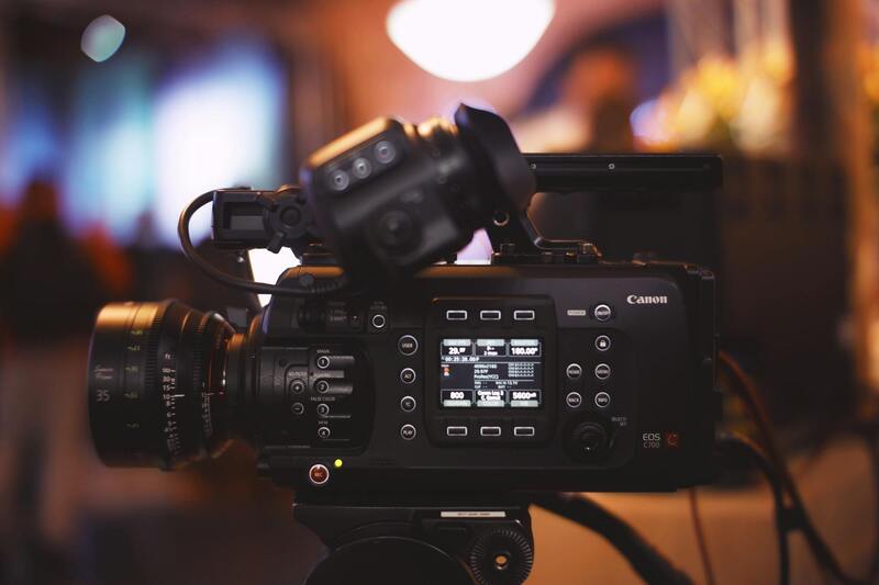
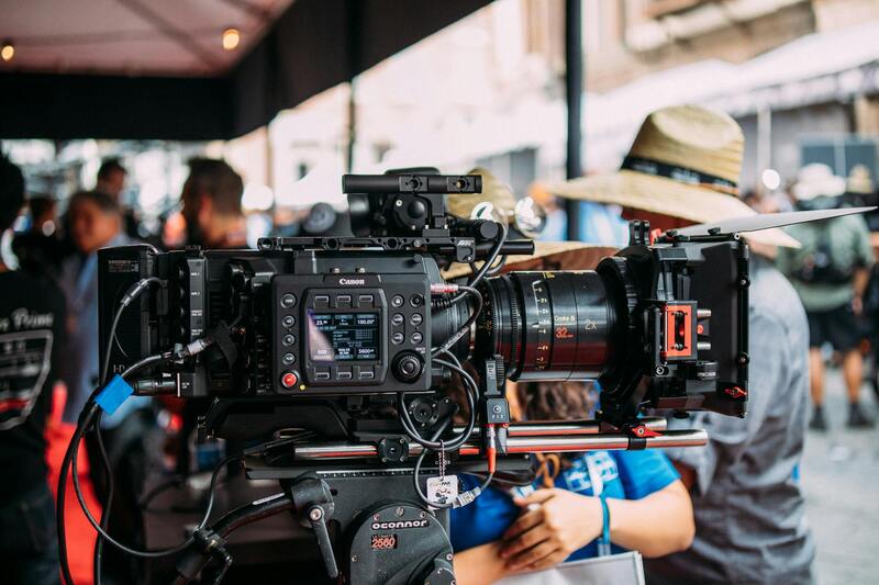
To achieve professional-grade aerial house images in Miami, the selection of appropriate equipment is crucial. High-quality drones equipped with top-tier camera systems are the foundation of successful aerial photography. Modern drones used in residential property imaging typically feature stabilized gimbals, enabling smooth, distortion-free shots even in windier conditions common in coastal areas. These devices often come with high-resolution sensors capable of capturing detailed images at 20 megapixels or higher, ensuring clarity when zoomed or cropped for marketing purposes.
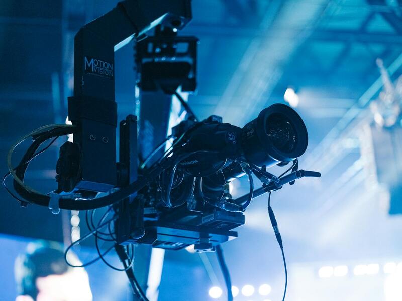
In addition to drones, specialized aerial cameras can be mounted on helicopters or fixed-wing aircraft for larger or more complex properties, particularly those spanning extensive land or waterfront estates. These systems utilize advanced imaging sensors and wider lenses to cover a broad area quickly and efficiently, providing comprehensive visual coverage of the entire property and its surroundings.
The choice between consumer-grade drones and professional-grade equipment depends on factors such as property size, desired image quality, and budget. Professional operators often utilize drones capable of 4K or 6K video capture, alongside precise flight control systems that allow for complex maneuvering and automated flight paths. Premium equipment also includes enhanced flight stability and obstacle avoidance features, which ensure safety and image quality during shoots amidst Miami's diverse urban and natural environments.
Overall, the integration of advanced drone technology and specialized aerial cameras is instrumental in producing compelling visual content that highlights unique property features—be it waterfront access, lush landscaping, or distinctive architectural elements—allowing real estate professionals to create striking marketing material that stands out in Miami’s competitive market.
Best Practices for Capturing Aerial House Photos
Achieving exceptional aerial house images requires meticulous planning and adherence to established techniques that enhance visual appeal and accuracy. Proper timing is essential; capturing images during the golden hour—shortly after sunrise or before sunset—ensures natural lighting that accentuates architectural details and landscape features while reducing harsh shadows. Proper planning of flight paths and camera angles allows for comprehensive coverage, showcasing the property's best angles, unique architectural elements, and surrounding landscapes. A variety of perspectives, including top-down, oblique, and angled shots, provide a dynamic visual narrative that highlights the property’s scale and aesthetic qualities. Lighting conditions play a crucial role. Overcast days produce soft, even lighting, diminishing shadows and highlighting details uniformly, whereas clear, sunny days create sharp contrasts that emphasize textures and depth. Adjusting camera settings such as ISO, aperture, and shutter speed is vital to optimizing image clarity and color accuracy, especially under changing light conditions typical in Miami's vibrant climate. Composition techniques, including the rule of thirds and leading lines, guide viewers' eyes across the image and draw attention to focal points like waterfront views or manicured gardens. Layering foreground and background elements adds depth, making images more immersive. Maintaining consistent altitude and orientation during shooting ensures uniformity in a series of images, facilitating the creation of cohesive marketing portfolios. Using the right equipment—whether high-resolution drones equipped with gimbals for stabilization or professional-grade aerial cameras—ensures sharp, detailed images. Incorporating multiple exposures or HDR techniques can also help manage challenging lighting situations, capturing both shadows and highlights effectively. When combined with thoughtful editing and post-processing, these practices culminate in imagery that truly represents the property's appeal, setting it apart in Miami’s bustling real estate landscape.
Understanding the Core Equipment for Aerial House Photography
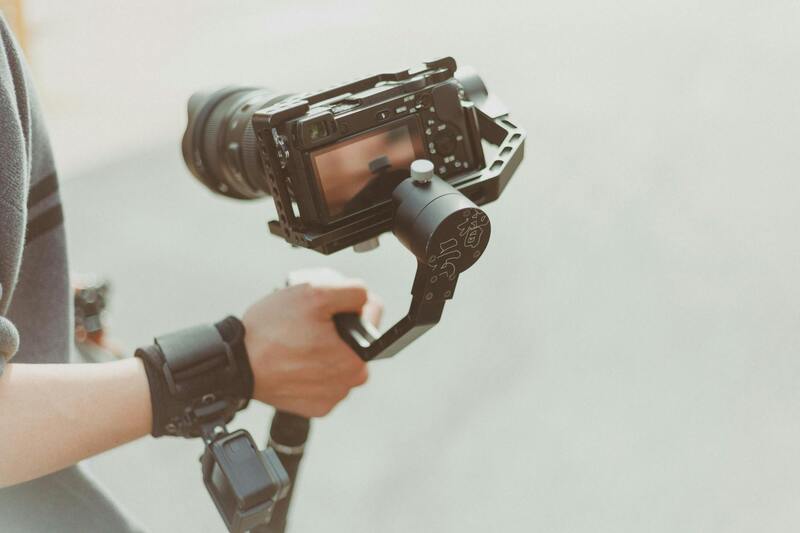
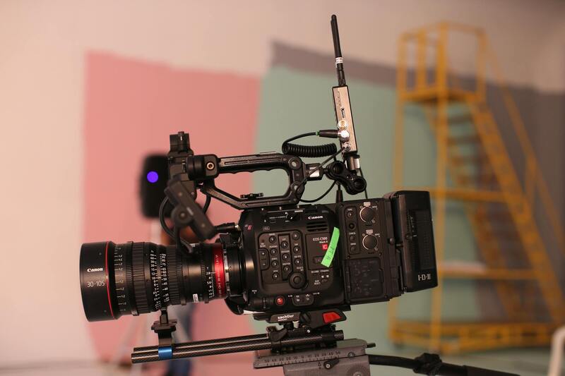
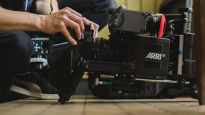
To achieve high-quality aerial images of residential properties, the selection of appropriate equipment is paramount. The core components include drones outfitted with professional-grade cameras, stabilization systems, and accessories that enhance image capture and safety. Multi-rotor drones equipped with high-resolution sensors enable detailed aerial views, capturing both expansive property landscapes and intricate architectural features. These drones are often fitted with gimbals that provide stabilization, ensuring sharp images even in windy conditions common in Miami’s outdoor environments.
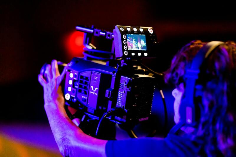
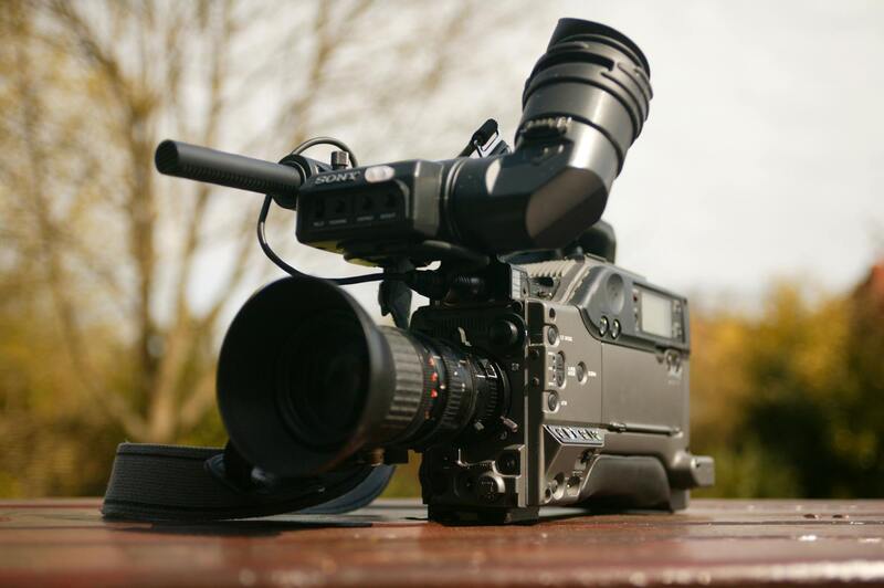
Additionally, some aerial photographers utilize fixed-wing aircraft or helicopter setups for larger-scale projects, although they are less common for residential photography due to cost and operational complexity. Hand-in-hand with the aerial platform, the camera choice significantly impacts image quality. Cameras with high megapixel counts, wide dynamic range, and adjustable lens options allow for capturing sharp, true-to-life visuals. Equipment such as DSLR or mirrorless cameras mounted on drones or stabilized gimbals enable flexibility and precision during shoots.
Technical Settings and Accessories Enhancing Image Quality
In aerial house photography, selecting the right camera settings is crucial for optimal results. Adjusting ISO settings to minimize noise, particularly in shaded or low-light conditions, ensures clarity. Aperture control influences depth of field, making it possible to keep entire facades in sharp focus. Shutter speed must be fast enough to freeze motion caused by wind or drone movement, avoiding blurred images. For areas with varying lighting, utilizing HDR techniques combines multiple exposures to accurately represent both shadows and highlights.
Additional accessories such as polarized filters can reduce reflections on windows or water surfaces, aiding in clearer depiction of property features. Some professionals deploy parachute or propeller guards to protect equipment during close maneuvering around structures. Lastly, portable lighting or reflectors are sometimes used to supplement natural lighting during sunrise or sunset shoots, highlighting the property's best features.
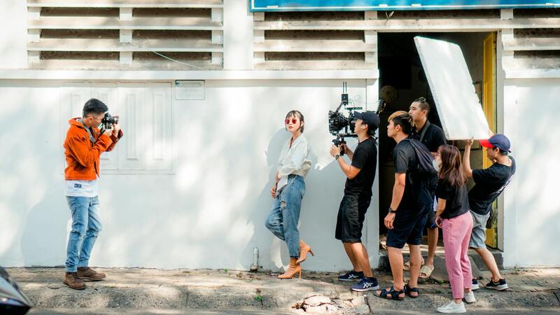
Efficiency in Deployment and Shooting Protocols
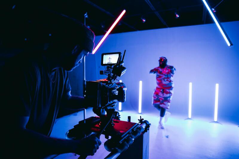
Efficient aerial photography begins with meticulous planning. Prior to flight, a comprehensive site survey is conducted to identify optimal flight paths, angles, and altitudes that showcase the property's best attributes. Maintaining a consistent flight altitude allows for comparative series that can be stitched together into comprehensive virtual tours or marketing portfolios. Pre-programmed flight paths using GPS waypoint systems ensure consistency across multiple shoots and improve safety by avoiding obstacles.
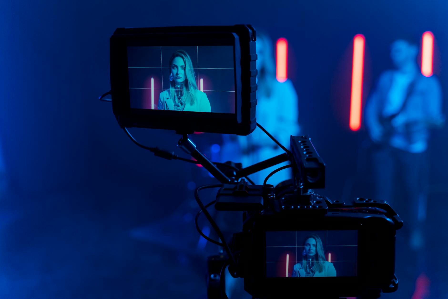
During actual shooting, operating the drone with real-time monitoring facilitates immediate adjustments in camera angles and exposure settings. A systematic approach, including checklists for equipment tests, battery levels, and weather conditions, minimizes disruptions and ensures safety compliance. The generation of high-quality, consistent images relies on reliable equipment calibration, proper planning, and precise execution during each aerial session.
Legal and Safety Considerations in Miami
Conducting aerial house photography within Miami necessitates adherence to prescribed operational standards designed to ensure the safety of operators, property, and the public. These standards encompass comprehensive knowledge of airspace regulations, which dictate permissible flight zones, altitude limits, and operational hours. Utilizing authorized flight corridors minimizes risks associated with unintended encounters with manned aircraft or other obstacles, thereby safeguarding aerial and ground-based assets.
Proper pre-flight planning includes conducting detailed site assessments to identify potential hazards such as power lines, tall structures, or crowded areas. Mapping out clear flight paths and establishing designated takeoff and landing zones reduce the likelihood of accidental interference with other aerial activities or crowded pedestrian zones.
Operators must employ reliable, well-maintained equipment equipped with fail-safe mechanisms such as return-to-home features and obstacle detection sensors. These technological advancements not only enhance operational safety but also protect expensive camera equipment during complex maneuvers close to structures.
Weather conditions play a pivotal role in aerial photography. Wind, rain, and sudden weather shifts can compromise drone stability and image quality. Continuous monitoring of weather forecasts and real-time conditions ensures that flights are conducted during optimal conditions, thereby reducing the risk of accidents and equipment damage.
Insurance coverage specific to aerial operations adds an extra layer of security, covering potential damages or liabilities that could arise from accidental incidents. Certification and licensing are equally important, as they demonstrate proficiency in operational protocols and adherence to regulatory standards, which is critical during inspections or audits by local authorities.
In Miami, where diverse urban landscapes and proximity to air traffic make drone operations particularly intricate, adherence to these meticulous safety protocols fosters professional integrity and secures high-quality results without compromising safety standards. This disciplined approach benefits clients by guaranteeing the consistent delivery of stunning aerial imagery while upholding the highest operational integrity.
Overview of Aerial House Photography
Aerial house photography involves capturing high-quality images of residential properties from elevated viewpoints, primarily utilizing drone technology. This specialized form of photography offers unique perspectives that ground-based photography cannot achieve, showcasing property exteriors, surrounding landscapes, and neighborhood features with breathtaking clarity. As visual marketing becomes increasingly vital in the real estate sector, aerial imagery plays a crucial role in attracting potential buyers, providing comprehensive views of both the property and its context within the community.
In Miami, a city known for its diverse architecture and vibrant neighborhoods, aerial house photography allows real estate professionals, homeowners, and developers to highlight unique property attributes more effectively. It is a strategic tool that enhances property listings by adding a dynamic, engaging visual element that stands out in digital platforms and print materials. Furthermore, aerial photography can assist in planning renovations, assessing property boundaries, and demonstrating investment potential to prospective clients.
The adoption of sophisticated aerial photography techniques has elevated standard marketing practices, creating opportunities for more innovative and compelling campaigns. High-resolution images captured from various altitudes and angles deliver a comprehensive visual story that can significantly influence buying decisions. As the market continues to evolve, the demand for striking aerial visuals is expected to grow, making it an indispensable part of modern property marketing in Miami.
Types of Aerial Photography Equipment
To produce stunning aerial house images, operators utilize a range of sophisticated equipment tailored for different shooting conditions and desired outcomes. The primary device is the drone, equipped with high-resolution cameras capable of capturing detailed visuals in various lighting and weather scenarios. Drones used in aerial house photography are often outfitted with stabilizing gimbals that ensure sharp images by counteracting drone movement during flight.
Additionally, lighting equipment such as portable LED lights or reflectors might be employed to enhance natural light conditions, especially during dawn or dusk shoots when lighting is softer and more visually appealing. For larger terrains or complex shot compositions, multi-rotor drones with extended battery life and advanced navigation systems are preferred to cover more ground efficiently.
Some professional operators also incorporate additional accessories like thermal imaging cameras for specialized inspections or ultra-wide lenses to capture expansive views of entire neighborhoods. Equipment maintenance and calibration are critical to ensure optimal performance and safety during every flight session, emphasizing the importance of investing in reliable, high-quality tools.
Best Practices for Capturing Aerial House Photos
Achieving impressive aerial house images requires meticulous planning and execution. Photographers should begin with a thorough site survey to identify optimal flight paths and angles that best showcase the property’s features. Pre-flight checks of all equipment, including battery levels, camera settings, and GPS functionality, help prevent disruptions during the shoot.
Lighting conditions significantly influence image quality, so scheduling shoots during golden hours—shortly after sunrise or before sunset—can produce warm, appealing visuals that highlight property details and enhance curb appeal. Maintaining stable flight patterns and steady drone positioning ensures sharp, distortion-free images, which are critical for professional marketing materials.
Variety is key; capturing multiple perspectives, including top-down shots, oblique angles, and panoramic views, provides a comprehensive visual narrative of the property. Post-flight, raw footage should be reviewed for consistency, and image processing techniques such as color correction, cropping, and noise reduction can optimize the visual impact. Incorporating aerial videos and virtual tours alongside still images further enrich the presentation, offering a more immersive experience for prospective buyers.
Legal and Safety Considerations in Miami
Operating drones for aerial house photography in Miami involves adherence to a set of established guidelines designed to promote safety and responsible flying. This includes understanding local airspace regulations and obtaining necessary permissions or operational clearances when flying near airports, heliports, or busy urban corridors. Conducting pre-flight planning that accounts for weather conditions, wind speed, and potential obstacles minimizes risks during operations.
Operators are encouraged to perform thorough risk assessments, especially in densely populated areas, to prevent accidents that could endanger people or property. Maintaining a safe flying altitude and avoiding restricted zones or sensitive areas such as government facilities are essential for compliance and the smooth execution of projects. Additionally, professional drone pilots should possess appropriate certifications and insurance coverage, ensuring accountability and a safeguard against unforeseen incidents.
Weather conditions are a critical factor; flights should only be scheduled during stable atmospheric conditions to avoid turbulence or unexpected gusts that could compromise camera stability or drone control. Proper flight planning, along with well-maintained equipment, contributes to operational success while respecting community safety and privacy considerations.
Applications of Aerial House Photography in Real Estate
In the competitive landscape of Miami's real estate market, aerial house photography has become an indispensable tool for showcasing properties in a compelling and comprehensive manner. High-quality aerial images allow potential buyers and investors to obtain a holistic view of a property and its surrounding environment, which is often difficult to capture through traditional ground-level shots. Such visuals highlight key features like landscaping, property size, proximity to amenities, and unique architectural details, elevating the property's appeal in listings and marketing campaigns.
Real estate professionals leverage aerial imagery to craft engaging virtual tours and marketing materials that distinguish their offerings from competitors. This approach not only attracts more inquiries but also increases the chances of closing sales more swiftly. Furthermore, aerial photography can effectively illustrate neighborhood dynamics, access points, and potential scenic views, providing prospective buyers with a vivid impression of the property's lifestyle and location advantages.
For developers and investors, aerial shots serve as valuable documentation during construction and development phases, allowing for progress tracking and planning adjustments. They are also instrumental in promoting large-scale projects, showcasing the scope and impact of new developments to stakeholders and authorities. The visual storytelling enabled by aerial house photography helps in positioning properties optimally, especially in a vibrant city like Miami where aesthetic appeal and strategic location are critical factors for success.
Incorporating aerial images in marketing strategies enhances not only the aesthetic value but also the trustworthiness of the listing, as high-resolution visuals convey professionalism and attention to detail. By providing a clear perspective on property boundaries, neighborhood context, and environmental elements, aerial photography minimizes misunderstandings and helps set accurate expectations for buyers. As the Miami real estate market continues to evolve, leveraging such advanced imaging techniques remains a strategic advantage for agents and developers seeking to attract discerning clients and maximize property value.
Choosing a Miami Production Agency for Aerial Photography
For optimal results in aerial house photography, selecting a reputable Miami-based production agency is essential. An experienced agency brings a combination of skilled drone operators, high-quality equipment, and meticulous planning to ensure every shot captures the property’s best features while complying with industry standards. When evaluating potential agencies, consider their portfolio of previous work, client testimonials, and the range of services offered. A professional agency understands the specific demands of real estate marketing and can tailor their approach to highlight the unique aspects of each property.
Collaboration with a dedicated agency also facilitates seamless scheduling, ensuring that aerial captures are coordinated with other marketing elements. Experienced agencies are well-versed in local regulations, which helps streamline the process while adhering to all necessary protocols. They also provide comprehensive post-production services, including image editing, color correction, and format optimization, to deliver visuals that meet professional standards. Engaging an agency with a deep understanding of the Miami real estate landscape ensures that the aerial imagery produced will effectively attract potential buyers and investors.
Key Factors to Consider When Selecting an Aerial Photography Agency
- Reputation and Portfolio: Review their previous work to assess image quality and stylistic consistency.
- Equipment and Technology: Confirm that they utilize the latest drone models and camera equipment for high-resolution capture.
- Legal Compliance and Safety Protocols: Ensure they follow industry best practices, including licensing, permits, and safety procedures.
- Post-Processing Capabilities: Determine if they offer professional editing services to enhance and optimize images.
- Customer Service and Reliability: Choose a company known for clear communication and timely delivery of projects.
Investing time in selecting a top-tier Miami aerial photography agency maximizes the visual impact of property listings. High-quality images not only elevate the aesthetic appeal but also build trust with prospective clients by showcasing professionalism. Given the competitive nature of Miami’s real estate market, leveraging experienced local specialists ensures that every aerial shot captures the location’s essence while complying with all operational protocols. Partnering with agencies that combine technical expertise, creative vision, and industry insight offers a strategic advantage, ultimately facilitating faster sales and higher property values in this dynamic environment.
