Overview of Aerial Real Estate Photography
Aerial real estate photography refers to the practice of capturing images of properties from elevated perspectives using specialized aerial imaging techniques. This method has revolutionized the way properties are showcased, providing a comprehensive view of the property and its surroundings that traditional ground-level images cannot offer. In the competitive Miami real estate market, using aerial photography enables sellers and agents to highlight key features of large estates, waterfront properties, and developments in a compelling manner that resonates with prospective buyers.
With advancements in drone technology and high-resolution imaging, aerial photography has become an essential component of modern property marketing strategies. It allows for the display of expansive landscapes, valuable outdoor amenities, and the context of neighboring features, all from multiple vantage points. Such visual assets not only enhance the appeal of property listings but also contribute to faster sales cycles by providing more comprehensive insights into the property’s layout and location advantages.
In Miami’s vibrant real estate scene, where waterfront homes, luxury apartments, and sprawling estates abound, aerial imagery adds value by offering unique perspectives. It captures the scale and grandeur of luxury properties, emphasizing features like pools, gardens, docks, and panoramic vistas. This approach appeals to high-end buyers who seek a detailed understanding of the property’s environment, making aerial photography a critical tool in differentiating listings and attracting serious inquiries.
As the demand for high-quality visual content in real estate continues to grow, the integration of aerial photography becomes increasingly prevalent. When executed by professionals utilizing the latest technology, aerial images can set a property apart in the bustling Miami market. They enable real estate experts to craft compelling narratives that resonate with targeted audiences, ultimately facilitating quicker sales and improved market positioning.
Legal and Regulatory Considerations in Miami
When conducting aerial real estate photography within Miami, operators must adhere to specific guidelines designed to promote safe and responsible use of aerial platforms. These standards encompass restrictions on flight altitude, proximity to populated areas, and the necessity of respecting privacy boundaries. Certified drone pilots often undergo training to familiarize themselves with local ordinances, ensuring their operations are compliant with city ordinances and flight regulations.
Clearance protocols may require requesting permissions for shoots in certain areas, especially those near sensitive facilities or densely populated neighborhoods. By following proper procedural channels, professionals can minimize disruptions and ensure their aerial captures are aligned with official expectations. This disciplined approach not only enhances safety but also maintains the integrity of the project, fostering trust with clients and communities.
Furthermore, aerial photographers should familiarize themselves with Miami’s specific airspace classifications. Understanding zones where flight restrictions are more stringent helps prevent unnecessary complications during shoots. Certification and licensing from relevant authorities demonstrate a baseline of professionalism and compliance, contributing to a smoother execution of aerial imaging projects.
Equipment and Technology Used in Aerial Photography
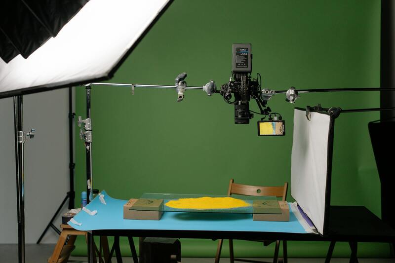
The effectiveness of aerial real estate photography hinges on the selection of advanced equipment and technology. Modern drone systems equipped with high-resolution cameras enable capturing crisp, detailed imagery from multiple angles. These drones often feature stabilization gimbals, which reduce motion blur and produce steady footage, even in challenging weather conditions. Multi-directional sensors and obstacle avoidance systems further improve safety and precision during flights.
Specialized imaging sensors, such as HDR-capable cameras, allow photographers to capture images with a broader dynamic range, providing detailed shadows and highlights crucial for showcasing property features. Additionally, some systems incorporate thermal imaging or 3D mapping capabilities, expanding the scope of visual storytelling for high-end properties or large estates.
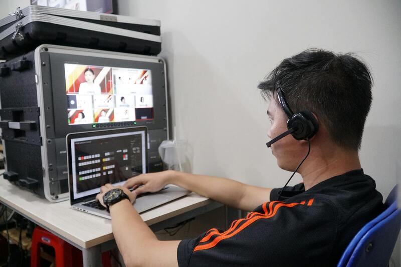
The integration of software solutions for flight planning and image processing streamlines operations. Automated flight planning apps optimize flight paths based on property layouts, while advanced editing tools enhance images in post-processing to ensure the final visuals meet the highest quality standards.
Best Practices for Capturing Effective Aerial Property Shots
Achieving impactful aerial images involves strategic planning and technical skill. Operators should conduct thorough pre-shoot assessments, considering lighting conditions, wind speeds, and optimal angles that highlight property assets. Utilizing specific altitudes can emphasize either the expansive landscape or intricate architectural details, depending on marketing goals.
Timing is crucial; capturing during the golden hours—shortly after sunrise or before sunset—provides warm, soft illumination that accentuates property features naturally. Consistent framing, appropriate focal lengths, and balanced compositions are essential to produce compelling visuals.
- Plan flight routes to minimize shadows and maximize the property's most attractive elements.
- Ensure batteries are fully charged and backup systems are available for uninterrupted sessions.
- Coordinate with on-site teams to manage traffic, pedestrians, and other variables.
Operators should also consider including aerial shots that incorporate surrounding amenities, natural landmarks, or waterfront views, framing the property within its broader context to appeal to prospective buyers' aspirations.
Post-Processing and Presenting Aerial Images
Effective post-processing elevates raw aerial footage into engaging marketing assets. Techniques like color correction, distortion correction, and contrast enhancement help create vibrant, true-to-life images. High-dynamic-range (HDR) processing can blend multiple exposures to capture details in both bright and shaded areas, delivering balanced visuals suitable for high-end listings.
Panoramic stitching combines multiple images to produce wide-angle or 360-degree views, providing potential buyers with an immersive experience. Incorporating gentle cropping and framing adjustments further refines the balance and composition of each shot. When presenting these images, emphasizing quality and clarity demonstrates professionalism and helps set property listings apart.
High-resolution images should be optimized for various digital platforms to ensure quick loading times and visual fidelity. Proper presentation on websites, virtual tours, and online listings allows potential buyers to appreciate every detail, reinforcing the property’s appeal and attracting serious inquiries with visually compelling content.
Legal and Regulatory Considerations in Miami
For professionals engaged in aerial real estate photography within Miami, adhering to established protocols ensures smooth project execution and high-quality outcomes. The city enforces specific guidelines related to airspace management, privacy, and safety, which must be meticulously followed to avoid disruptions or setbacks.
Prior to deploying drones or other aerial devices, obtaining the necessary authorizations from relevant municipal and federal agencies is a crucial step. These permits typically involve detailed applications outlining the scope of work, equipment specifications, and safety measures that will be implemented during shoots. Maintaining open communication with local authorities can streamline approval processes and prevent unanticipated delays.
In addition to securing permits, practitioners should familiarize themselves with designated flight zones and restrictions—particularly over sensitive areas such as schools, government buildings, or densely populated neighborhoods. Respecting these boundaries not only supports responsible flying but also minimizes the risk of conflicts with other airspace users.
Respecting residents' privacy is a fundamental aspect of aerial real estate photography. Ensuring that images do not inadvertently capture private properties or individuals without consent reinforces the integrity of the service provided. Implementing operational routines such as avoiding trajectories that infringe on private spaces further exemplifies professional conduct.
Moreover, operators should stay informed about any updates to drone regulations issued by federal authorities, such as the Federal Aviation Administration (FAA). Regular training and certification courses can help maintain adherence to evolving standards and demonstrate a commitment to safe, responsible aerial imaging practices.
Equipment and Technology Used in Aerial Photography
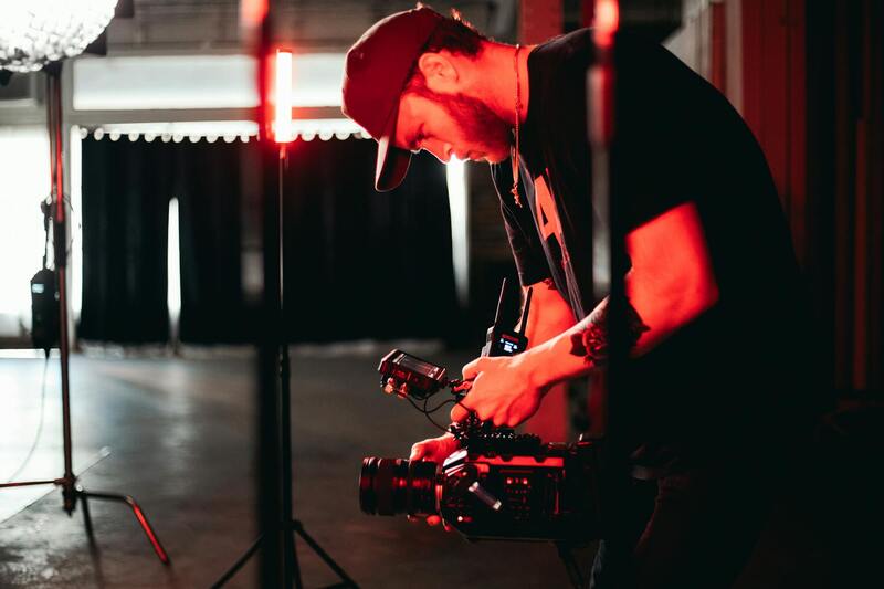
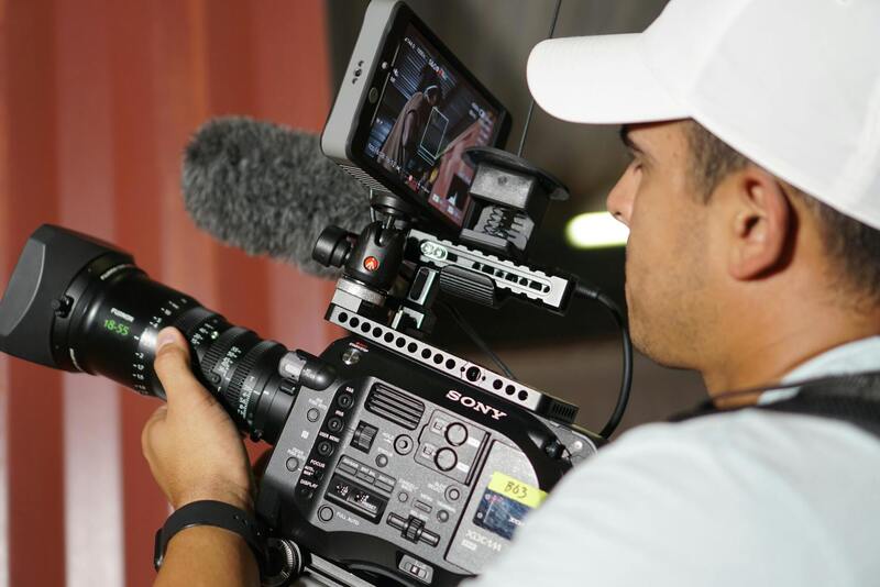
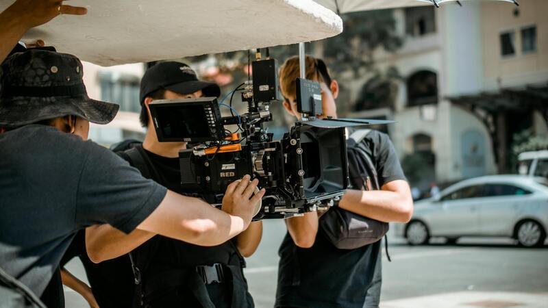
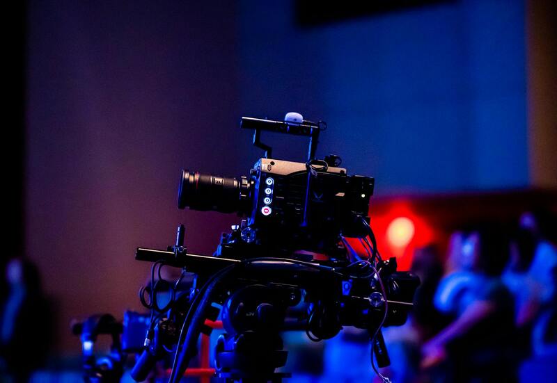
Professional aerial real estate photography demands specialized equipment that ensures high-resolution, stable, and precise imagery. High-end drones equipped with advanced stabilization systems enable capturing smooth footage even in challenging weather conditions or complex urban environments. These drones are often fitted with 4K or even 8K capable cameras, providing the clarity necessary to highlight property features in stunning detail.
Gimbal stabilization technology plays a crucial role in maintaining image steadiness, eliminating blurring caused by vibration or movement, thus delivering crisp, professional shots. Additionally, smart flight controllers facilitate automated flight paths, allowing for comprehensive coverage of the property, including aerial views from multiple angles and perspectives.
 igure>
In terms of image processing, high-performance editing software like Adobe Photoshop and Lightroom are essential for fine-tuning images. These tools enable color correction, contrast enhancement, and perspective adjustments, ensuring that each shot accurately represents the property and appeals to potential buyers.
Investing in high-quality equipment and keeping abreast of technological advancements directly correlates with producing superior aerial imagery. This, in turn, enhances property listings, attracts more viewers, and accelerates the sale process.
Choosing the Right Drone Equipment for Aerial Real Estate Photography in Miami
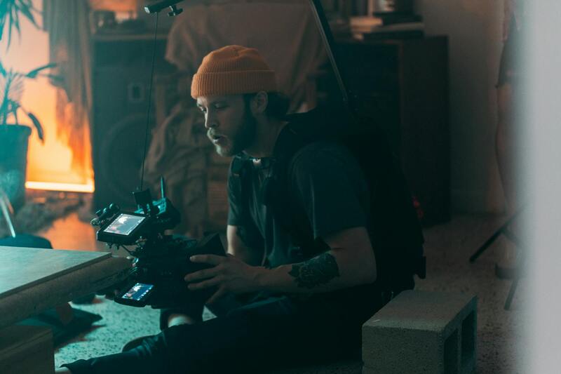
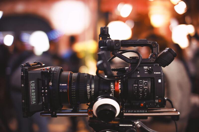
Selecting the appropriate equipment is fundamental to achieving high-quality aerial images that effectively showcase Miami properties. The most advanced drones used for professional real estate photography are equipped with high-resolution sensors, capable of capturing detailed imagery from various altitudes and angles. These drones often feature 4K or 8K cameras, which create crisp, vibrant visuals that highlight architectural details and surrounding landscapes with precision.
Gimbal stabilization systems are a critical component, ensuring that footage remains steady despite varying wind conditions or turbulence common in Miami's diverse climate. Automated flight capabilities, including programmable flight paths and obstacle avoidance systems, enable photographers to systematically cover complex property layouts and hard-to-reach vantage points efficiently and safely.
For post-shoot editing, professionals utilize sophisticated software suites such as Adobe Lightroom and Photoshop. These tools allow for meticulous color correction, contrast enhancement, perspective alignment, and removal of minor image imperfections, ensuring that the final visuals align with marketing standards and accurately depict the property. The combination of high-tech equipment and expert post-processing results in compelling images that attract potential buyers and engage viewers.
Best Practices for Flight Operations and Image Capture
Implementing effective flight planning ensures comprehensive coverage of Miami real estate. Planning optimal flight routes that encompass various angles—front, rear, top-down, and oblique shots—maximizes the property’s visual appeal. Scheduling shoots during the golden hours of early morning or late afternoon harnesses natural lighting, enhancing the aesthetic quality of the images and reducing harsh shadows or glare.
Prior to flight, establishing clear safety protocols is vital. This includes scanning the area for obstacles such as tall structures or power lines, confirming wind conditions are within operational limits, and verifying drone battery levels and signal strength. These measures help ensure a smooth, accident-free flight, and that valuable time is not wasted during the shoot.
Image Composition and Perspective Tips
- Capture wide-angle shots that display the entire property and neighboring features for context.
- Utilize different flight altitudes to provide both detailed close-ups and expansive aerial views.
- Employ oblique angles to highlight landscaping, pools, outdoor amenities, and architectural details.
- Experiment with drone tilts and rotations to find the most flattering perspective for the property’s unique features.
Adhering to Site-Specific Protocols
Understanding and respecting property-specific guidelines, such as restricted flight zones near airports or governmental buildings, is necessary to conduct compliant and efficient aerial photography sessions. Coordinating with property owners and local authorities can help streamline operations and prevent delays caused by unforeseen regulatory constraints.
Post-Processing and Presenting Aerial Images
Once the aerial footage and images of the property are captured, the next step involves meticulous post-processing to maximize visual impact. This process typically includes color correction, contrast adjustment, and sharpening techniques to ensure that each image accurately reflects the property’s true appearance while enhancing its appeal. It’s essential to maintain consistency across all images to create a professional and cohesive visual presentation that appeals to prospective buyers and investors.
Utilizing advanced editing software enables professionals to correct lens distortions, remove unwanted elements like stray wires or shadows, and even stitch multiple images together to produce high-resolution panoramic views. These high-quality visuals can dramatically improve online listings, brochures, and virtual tours, giving potential clients a comprehensive view of the property from the sky.
Strategies for Effective Integration into Marketing Materials
- Embed high-resolution aerial shots within property listings to highlight the unique aspects of the property’s location and layout.
- Create compelling virtual tours by incorporating aerial footage that provides a sweeping perspective, helping buyers visualize the property in its entirety.
- Use aerial images in targeted advertising campaigns across social media platforms to attract a broader audience.
- Combine aerial views with ground-level photos and videos to produce a comprehensive marketing narrative that emphasizes property features and neighborhood context.
Maintaining high standards in image quality and presentation plays a major role in differentiating listings in competitive Miami real estate markets. Well-edited aerial images stand out by showcasing expansive property features, outdoor amenities, and community landscapes, which are often decisive factors for buyers. When executed professionally, this visual storytelling enhances property value perception and accelerates the sales process.
Optimizing Images for Various Platforms
While high-resolution images are suitable for printed brochures and digital listings, optimizing images for online use requires balancing quality with load times. Compressing images without significant loss of detail ensures faster page loading and a seamless viewing experience on various devices, from desktops to smartphones. Additionally, incorporating geotagging and descriptive alt text can improve online visibility and search engine rankings, drawing more traffic to the property’s digital presence.
Overview of Aerial Real Estate Photography
Aerial real estate photography involves capturing images and videos of properties from elevated perspectives, primarily utilizing unmanned aerial vehicles (UAVs) or drones. This method offers a comprehensive view of the entire property, including surrounding landscapes, outdoor amenities, and neighborhood context, which traditional ground-level photography cannot easily achieve. With advances in drone technology and high-resolution imaging, aerial photography has become an essential component of modern real estate marketing strategies. Professional aerial photography providers employ sophisticated equipment and techniques to produce visually compelling content that highlights key property features and enhances online listings.

A well-executed aerial shoot not only accentuates the property’s spatial dimensions but also provides potential buyers with a clear understanding of its layout, access points, and nearby attractions. This strategic perspective aids in creating an emotional connection and encourages faster engagement from prospective buyers. Additionally, aerial imagery can be seamlessly integrated into virtual tours, promotional videos, and digital advertising campaigns, amplifying the property's visibility across diverse platforms.
Advantages of Using Aerial Photography for Real Estate
- Provides a comprehensive view of the property and its surroundings, enhancing listing appeal
- Highlights outdoor living spaces, landscaping, and unique architectural features
- Helps prospective buyers visualize property layouts and neighborhood connections
- Creates engaging visual content that stands out in competitive markets
- Enables the production of high-quality virtual tours and promotional media
Implementing aerial photography can significantly elevate a property’s online presence, attracting a broader audience and facilitating faster sales. The ability to capture expansive, dynamic shots makes this technique essential for luxury homes, commercial properties, and developments seeking to convey a sense of scale and exclusivity.
Legal and Regulatory Considerations in Miami
In Miami, conducting aerial photography requires adherence to specific operational standards and guidelines to ensure safety and compliance. These include obtaining necessary permits, respecting privacy boundaries, and adhering to altitude and airspace restrictions defined by regulatory authorities. Engaging with local authorities and industry experts ensures that drone operations are performed responsibly, minimizing risks associated with airspace use. Professionals offering aerial real estate photography in Miami typically navigate these frameworks, securing the appropriate permissions to avoid disruptions and maintain high standards of operation.
Equipment and Technology Used in Aerial Photography
Achieving professional-quality aerial images hinges on employing advanced equipment and technology. Standard tools include high-resolution drones equipped with stabilized gimbals, GPS modules, and camera systems capable of capturing detailed stills and smooth video footage. Some agencies utilize multispectral and thermal sensors for specialized imaging, especially in unique property assessments or environmental documentation. Post-flight data processing often involves sophisticated software for image stitching, color correction, and stabilization, ensuring the final output meets high-quality standards suitable for marketing and promotional purposes.
Best Practices for Capturing Effective Aerial Property Shots
- Pre-plan the shoot: Scout the location, identify key angles, and plan flight paths to maximize coverage.
- Set optimal camera parameters: Adjust focus, aperture, and ISO settings for sharp images under varying light conditions.
- Maintain safe flight operations: Observe altitude limits, avoid restricted zones, and plan for weather conditions to prevent flight risks.
- Capture multiple perspectives: Include top-down views, oblique angles, and close-ups of outdoor features.
- Ensure image consistency: Use systematic approaches to maintain uniform framing and lighting for a cohesive portfolio.
- Post-process images effectively: Apply color grading, cropping, and enhancement techniques to highlight key property features.
Adhering to these practices results in high-quality visuals that can significantly influence buyer interest and property valuation. Professional photographers and drone operators meticulously manage each aspect of the shoot to ensure the imagery accurately represents the property while engaging viewers through compelling visual storytelling.
Post-Processing and Presenting Aerial Images
Post-processing plays a crucial role in transforming raw aerial footage into polished marketing content. Techniques such as image stitching, HDR processing, color correction, and perspective enhancement help accentuate property features and create visually stunning representations. High-resolution images should be optimized for various platforms, ensuring fast load times without sacrificing detail. When preparing images for digital listings, virtual tours, or social media, resizing and compressing files appropriately enhances user experience across devices. Incorporating geotagging and descriptive metadata can also improve online visibility, helping potential buyers discover properties through search engines and map services.
Choosing a Miami Production Agency for Aerial Photography
Selecting an experienced and reputable aerial real estate photography provider in Miami ensures top-tier results that meet professional standards and industry expectations. When evaluating potential agencies, consider their portfolio to assess the diversity and quality of previous work, especially their ability to capture properties from unique vantage points. Verify that the agency employs certified operators equipped with advanced drone technology, capable of executing complex flight plans while adhering to safety and operational guidelines.
It is essential to review the agency’s familiarity with local regulations and their approach to obtaining necessary flight permissions. An agency that consistently demonstrates compliance and transparency can deliver images that accurately represent the property’s best features. Additionally, inquire about their post-production process, including editing, image enhancement, and formatting for different marketing platforms.
Cost considerations are important; however, prioritizing quality and professionalism often yields better marketing outcomes. Engage with agencies that offer comprehensive packages, including consultation on shot planning, advanced camera equipment, and tailored editing services. Transparent communication and a detailed workflow help align expectations and deliverables, ensuring the final images elevate the property's appeal.
Moreover, a proficient agency provides guidance on the latest trends and techniques in aerial photography, helping clients stay ahead in Miami’s competitive real estate market. They should also have robust safety protocols and contingency plans in place for drone operations, ensuring smooth execution regardless of weather conditions or unforeseen challenges.