Overview of Drone House Photography
Drone house photography has revolutionized the way residential properties are showcased in the competitive Miami real estate market. Utilizing advanced unmanned aerial vehicles (UAVs), licensed operators capture high-quality aerial images that reveal a property’s full scope, including surrounding landscapes, architectural details, and neighborhood context. This perspective offers potential buyers a comprehensive view that ground-level photos often cannot provide, making drone imagery an indispensable tool for modern real estate marketing.
In Miami, where luxury homes often boast expansive layouts and scenic surroundings, drone house photography adds significant value by emphasizing property features from unique angles. Aerial images help highlight outdoor amenities such as pools, gardens, and waterfront access, providing a visual storytelling experience that can capture the imagination of prospective buyers. As digital platforms prioritize visual content, the prominence of drone photography in property listings continues to grow, helping sellers stand out in the crowded Miami real estate market.

Expert drone photography captures the property's grandeur and contextualizes its location, making a compelling case for buyers seeking premium residences. The strategic use of aerial imagery enhances listing appeal, promotes faster sales, and often results in a higher closing price. As a vital element of a comprehensive marketing strategy, drone house photography aligns with industry trends emphasizing high-quality visual content and immersive viewing experiences.
Relevance and Growing Popularity
The increasing adoption of drone house photography in Miami reflects its effectiveness in creating standout listings. Real estate professionals recognize that providing dynamic, high-resolution aerial views can significantly influence buyer decision-making. As technology advances and costs decrease, more agents and sellers are integrating drone imagery into their marketing efforts, making it a standard practice for premium residential properties.
Legal and Safety Considerations in Miami
When engaging in drone house photography within Miami, adhering to established protocols ensures a smooth and professional operation. Operators must familiarize themselves with local regulations governing drone usage, which include restrictions on flying over private properties, public spaces, and congested areas. Respecting property boundaries and maintaining a safe distance from people and structures are essential to prevent incidents.
Safety measures involve conducting pre-flight inspections of drone equipment to confirm all systems are functioning correctly. Pilots should be trained in emergency procedures, such as immediate landing protocols in case of technical issues or unexpected obstacles. Maintaining visual line-of-sight with the drone at all times helps avoid collisions and ensures precise control during flight.
Weather conditions play a crucial role in planning drone shoots. Windy, rainy, or foggy weather can compromise drone stability and image quality, making it necessary to schedule flights during optimal conditions. Additionally, avoiding flight during peak bird activity helps prevent disturbances and potential accidents.
It’s also advisable to obtain necessary clearances or permits when flying in sensitive or restricted areas, such as parks or near airports. Working with licensed operators or certified professionals not only ensures compliance but also adds a layer of confidence to the overall project, helping to produce high-quality images without legal complications.
In summary, a comprehensive understanding of Miami’s drone operation guidelines, combined with proactive safety measures, enhances the quality and professionalism of drone house photography. This approach fosters trust with clients and safeguards all parties involved in the production process.
Technical Aspects and Equipment for Drone House Photography
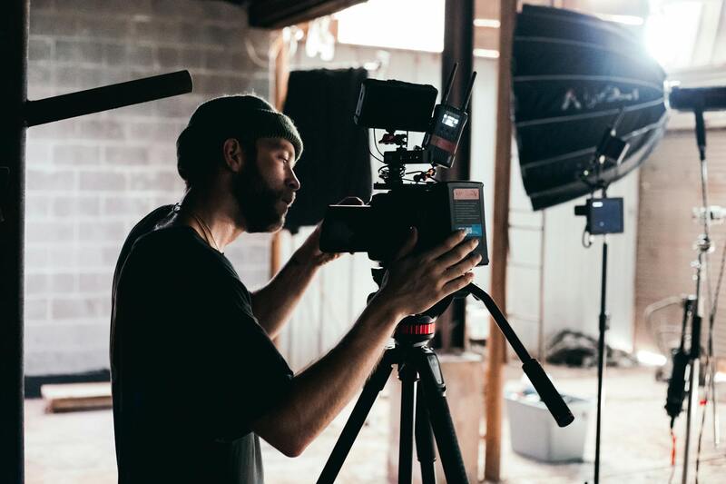
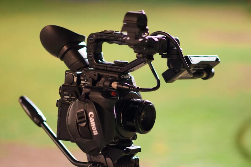
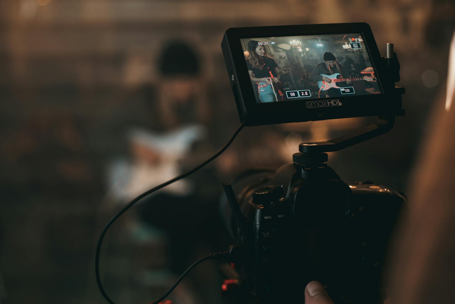
Achieving high-quality drone house photography requires a combination of advanced technology and precision equipment. Modern drones equipped with high-resolution cameras enable capturing detailed images from various angles, providing comprehensive views of residential properties. Utilizing gimbal-stabilized cameras ensures steady shots, even in challenging wind conditions, which is essential for producing professional-grade images.
Opting for drones with adjustable camera settings such as auto-focus, ISO, shutter speed, and aperture allows for tailored shots that highlight the unique features of a property under different lighting conditions. Incorporating drone models that support 4K or higher resolution filming enhances the clarity necessary for impressive real estate presentations.
Beyond the drone itself, supplementary equipment plays a critical role. High-capacity batteries ensure longer flight times, facilitating the capture of multiple angles without frequent recharging. Additionally, insurance for drone equipment provides risk management safeguards, protecting against potential damage or loss during shoots.
In terms of operational technology, advanced GPS positioning and obstacle avoidance systems are vital. These features help pilots navigate complex environments safely and precisely, capturing comprehensive imagery without interruptions. Some drones also include automated flight planning features, enabling pre-programmed flight paths that ensure consistent and exhaustive coverage of the property.
For professionals aiming for superior image quality, investing in post-processing software is equally important. Programs capable of stitching images into high dynamic range (HDR) panoramas or enhancing color and contrast ensure that the final visuals meet the expectations of clients and marketing standards.
Maintaining Compliance and Ensuring Safe Drone Operations in Miami
Achieving high-quality drone house photography in Miami requires adherence to established operational procedures that prioritize safety and efficiency. It is essential for pilots to conduct pre-flight assessments of the location, checking for potential obstacles such as overhead wires, buildings, and other structures that might interfere with safe flight paths. Proper planning involves selecting optimal weather conditions—calm winds and clear visibility—to minimize risks and enhance image stability and clarity.
Utilizing advanced flight control systems and situational awareness tools embedded within modern drone technology allows operators to execute complex maneuvers with precision. These features often include real-time obstacle detection and automatic course corrections, ensuring that drone movements remain controlled and safe throughout the shoot. Consistent communication with ground support personnel or team members can further enhance safety, especially in densely populated or complex environments characteristic of many Miami neighborhoods.
Operational protocols should also encompass obtaining necessary permissions or clearances for drone flights, particularly when working in areas with high pedestrian traffic or near sensitive zones. This practice not only promotes responsible usage but also facilitates smooth operational flow, reducing delays or interruptions during shooting sessions.
For professional drone house photographers, continual training on emerging safety features and best practices is vital. Staying updated with the latest advancements and regulations ensures that each project is executed within optimal safety parameters, securing both the quality of imagery and the integrity of operational procedures.
Techniques for Capturing Effective Drone Shots
Capturing high-quality drone house photography requires a combination of the right techniques and an understanding of the environment. Optimal shooting angles are essential to showcase a property’s full potential; aerial perspectives that highlight property size, landscaping, and unique architectural features can create compelling visuals. For instance, shooting from a high, centered position provides a comprehensive view of the entire property, while oblique angles can emphasize the depth and layout of the grounds.
Lighting conditions significantly influence image quality. The best times for drone photography generally occur during the golden hours—early morning or late afternoon—when natural light produces warm, soft illumination that enhances textures and contrasts without harsh shadows. Overcast days can also offer evenly diffused lighting, reducing glare and reflections that might obscure details in images.
During flight, maintaining steady movements and smooth transitions between shots is vital to produce professional-quality visuals. Utilizing slow, controlled maneuvers ensures clarity and reduces motion blur, particularly when capturing detailed aspects of the property or emphasizing expansive views. Consistent altitude adjustments and targeted camera angles can help frame the property effectively, emphasizing key selling points to prospective buyers.
Flight patterns also play a crucial role. Circular or spiraling paths around the property can provide dynamic perspectives, while linear pov shots from different vantage points help highlight spatial relationships. Planning these routes in advance ensures comprehensive coverage without unnecessary overlaps or missed details. Using software for flight planning and pre-visualization enables drone operators to execute complex shot sequences with precision.
Weather conditions must be evaluated carefully before any flight. Calm winds, clear skies, and stable atmospheric conditions minimize vibrations and maximize image sharpness. Being prepared for changing weather by monitoring forecasts and conducting pre-flight assessments ensures that each shoot proceeds smoothly and yields optimal results.
Incorporating these techniques—precise angles, optimal lighting, controlled flight paths, and thorough planning—allows drone operators to produce compelling, detailed imagery that significantly enhances property listings and captures the unique character of each residence.
Overview of Drone House Photography
Drone house photography has revolutionized the way real estate professionals showcase residential properties by providing unique aerial perspectives that traditional ground-level shots cannot capture. Utilizing unmanned aerial vehicles equipped with high-resolution cameras, this method allows for comprehensive visual documentation of a property’s entire landscape, including its exterior features, surrounding environment, and proximity to amenities or natural elements. This approach offers a dynamic and engaging view, giving prospective buyers a more immersive understanding of the property’s layout, spatial relationships, and the overall ambiance of the neighborhood. The high vantage point and sweeping views facilitate highlighting key selling points such as expansive yards, waterfront access, or architectural details that might otherwise go unnoticed. Additionally, drone house photography aids in differentiating listings in competitive markets by providing captivating visuals that stand out in digital listings and marketing campaigns.
Advantages of Using Drone Photography for Residential Properties
- Enhanced Visual Appeal: Aerial shots create striking visuals that attract attention online, increasing click-through rates and engagement.
- Better Property Contextualization: Drones reveal the relationship between the house and its environment, providing potential buyers with a clearer sense of space and neighborhood dynamics.
- Time and Cost Efficiency: Instead of multiple ground-level photos and virtual tours, drones can capture comprehensive images in a shorter timeframe, reducing logistical complexities and costs.
- Versatility in Angles and Perspectives: Flying at different heights and angles enables the creation of diverse shots, including panoramic views, detailed close-ups, and dynamic flight paths.
- Highlighting Unique Property Features: Drones can focus on specific elements such as swimming pools, gardens, or architectural details, presenting the property in its best light.
Technical and Safety Considerations in Miami
Conducting drone house photography in Miami involves strict adherence to guidelines aimed at ensuring safety and the integrity of the operation. Operators should always perform pre-flight assessments to evaluate weather conditions, avoiding flights during high winds or storms that could compromise drone stability or safety. No-fly zones around sensitive infrastructures such as airports, helipads, and government buildings must be carefully observed, with flight paths planned to prevent encroachments into restricted areas. Maintaining line of sight with the drone at all times is crucial for control and immediate response to any unexpected situations. Conducting thorough site assessments helps identify hazards like power lines, trees, or other obstacles that could interfere with safe flight paths. It is essential to obtain any necessary permissions or clearances before executing drone flights, especially in densely populated or high-value areas, to facilitate smooth operations and compliant practices.
Best Equipment and Technology for Drone House Photography
The quality of drone images hinges significantly on the equipment used. High-end drones equipped with 4K or higher resolution cameras ensure crisp, detailed imagery suitable for marketing purposes. Gimbal stabilization systems are critical for maintaining steady shots, especially during aerial maneuvers, reducing motion blur and ensuring professional-grade visuals. Advanced flight controllers and GPS systems enable precise navigation, automated flight paths, and safe autonomy, which are particularly helpful for capturing complex shot sequences. To optimize lighting conditions, operators should consider drones with adjustable camera settings, including ISO, shutter speed, and aperture. Some models offer HDR functionality, allowing for better exposure in challenging lighting scenarios. Additionally, the integration of software for flight planning, image processing, and real-time monitoring enhances the overall efficiency and quality of the production process. It is advisable to invest in reputable equipment to ensure reliability, safety, and image excellence.
Techniques for Capturing Effective Drone Shots
Achieving compelling drone house images requires mastery of specific flight techniques and camera controls. Planning the shoot layout and flight path in advance ensures comprehensive coverage from various elevations and angles. Executing smooth, controlled maneuvers minimizes vibrations and enhances image sharpness, especially when capturing detailed features or expansive views. Optimal angles include aerial shots from higher altitudes to showcase the full property scope, as well as closer, oblique angles that highlight architectural nuances or landscaping details. Adjusting camera settings based on lighting conditions—such as using lower ISO during bright days or employing HDR modes—helps produce well-exposed images. Dynamic flight patterns, like circling around the property or spiraling from a central point, create engaging perspectives that emphasize spatial relationships and property dimensions. Consistent altitude adjustments and careful framing are vital for maintaining visual coherence and highlighting the property's most attractive aspects. Pre-flight rehearsals and software-assisted route planning contribute to successful execution, ensuring thorough and aesthetically pleasing coverage of the residence.
Overview of Drone House Photography
Drone house photography has transformed the way real estate professionals showcase residential properties. Utilizing unmanned aerial vehicles (UAVs), this method captures expansive views and unique angles that traditional ground-level photography cannot achieve. High-resolution imagery taken from various altitudes provides potential buyers with a comprehensive understanding of the property's layout, surrounding landscape, and nearby amenities. Drone photography enables the highlighting of key features such as sprawling gardens, swimming pools, scenic vistas, and architectural details that enhance the property's appeal. Carefully planned drone shoots involve pre-mission assessments, considering optimal flight paths, lighting conditions, and camera settings to maximize the quality of visuals. These images are pivotal in creating compelling online listings and marketing materials, helping properties stand out in competitive real estate markets. The integration of aerial perspectives offers a panoramic overview that fosters an emotional connection with viewers, ultimately influencing their decision-making process.
Advantages of Using Drone Photography for Residential Properties
- Enhanced Visual Appeal: Aerial shots create striking visuals that capture a property's entire landscape, offering a perspective that ground photos cannot achieve.
- Broader Coverage: Drone photography can efficiently cover large properties and complex layouts, showcasing all aspects of the estate in a single frame.
- Increased Engagement: Listings with aerial images tend to attract more interest online, as they offer potential buyers a more dynamic and immersive view.
- Highlighting Unique Features: Drones can emphasize special landscape features, outdoor amenities, and property boundaries, adding value to marketing efforts.
- Cost-Effective Marketing: Compared to traditional aerial surveys, drone photography provides professional-quality images at a lower cost, reducing the need for expensive helicopter shoots.
Technical and Operational Considerations in Miami
While leveraging drone technology, it is essential to follow established operational practices to ensure safety and efficiency. Pre-flight planning should include an assessment of airspace regulations and potential obstacles such as power lines, tall structures, and restricted zones. Conducting site surveys beforehand allows operators to identify safe flight paths and optimal shooting angles while maintaining a safe environment for both the operator and bystanders. Real-time monitoring during the flight ensures proper camera operation, steady flight paths, and the ability to adjust in response to changing conditions. Post-flight procedures involve thorough review of captured footage, data organization, and initial edits to select the best shots for editing. Adopting flight planning software can help create detailed route maps and automate certain aspects of the operation, ensuring comprehensive coverage and adherence to safety protocols.
Final Considerations for Using Drone House Photography Effectively
As the demand for high-quality real estate imagery continues to grow, mastering the proper techniques and adhering to best practices in drone house photography become essential for presenting properties in the most compelling manner. When executing aerial shots of residential properties, it is crucial to focus on planning, precision, and post-production refinement to deliver images that truly resonate with potential buyers and stakeholders.
Meticulous Pre-Flight Planning
Successful drone house photography begins well before the drone takes flight. It involves comprehensive site assessments, including an understanding of the property's layout, surrounding environment, and potential obstacles. Using specialized flight planning tools can facilitate the creation of detailed flight paths that maximize coverage while maintaining safety. Identifying optimal angles and times of day—usually during the golden hour—can dramatically enhance lighting and shadow effects, adding depth and clarity to the images.
Operational Excellence During Flights
Executing drone flights with precision requires a combination of skill and adherence to established operational standards. Maintaining a steady altitude and camera orientation ensures consistent image quality. Utilizing gimbal stabilization technology reduces blurring and maintains horizon level, even in windy conditions. Continuous in-flight monitoring is essential for adjusting camera settings in response to changing lighting conditions and avoiding unexpected obstacles. Real-time data collection allows for swift repositioning, ensuring all key aspects of the property are thoroughly documented.
Post-Production Enhancement
Post-flight editing transforms raw drone footage into captivating visuals suited for real estate listings. Basic adjustments such as brightness, contrast, and color correction can enhance the vibrancy and appeal of the images. Advanced techniques like HDR blending or panoramic stitching enable the creation of expansive, high-resolution views that highlight the property's scale and features. Consistency in editing style across an entire portfolio ensures a professional and unified presentation, strengthening branding efforts and buyer impressions.
Strategic Integration into Marketing Campaigns
Once polished, drone images should be seamlessly integrated into broader marketing strategies. High-quality aerial shots are ideal for online listings, social media promotion, and virtual tours. They can be incorporated into brochures, email campaigns, and website galleries to increase engagement. Highlighting unique property features—such as expansive outdoor living spaces, scenic views, or landscaped gardens—through captivating aerial visuals can significantly boost property appeal. Combining drone imagery with traditional ground-level photos creates a comprehensive visual narrative that caters to diverse buyer preferences.
