Overview of Drone Photography in Real Estate
Drone real estate photography has revolutionized the way properties are marketed and showcased. Utilizing unmanned aerial vehicles equipped with high-resolution cameras, this technique offers a dynamic perspective that traditional ground-based photography cannot achieve. Aerial images and videos captured by drones provide comprehensive views of property layouts, surrounding environments, and distinctive landscape features, thereby enhancing the appeal of residential and commercial listings alike.
This form of photography plays a crucial role in the modern real estate landscape by enabling potential buyers to gain a holistic understanding of a property's spatial relationships, proximity to amenities, and property boundaries. In competitive markets like Miami, where luxury estates, waterfront properties, and sprawling developments dominate the scene, drone imagery reveals unique details that can significantly influence a buyer’s decision-making process. High-quality aerial visuals can showcase large estates, lush gardens, pool areas, and scenic surroundings in a way that traditional photography often fails to capture comprehensively.
For real estate professionals, integrating drone photography into their marketing strategies offers a competitive edge by providing engaging visual content that stands out in online listings, social media, and promotional materials. Furthermore, as drone technology advances, the ability to produce cinematic-quality visuals enables agents to highlight properties with a level of professionalism and visual impact previously unattainable with conventional methods.
Employing drone real estate photography enhances transparency and provides an informative view of the property, which can lead to faster sales and higher engagement. As a result, real estate agents, developers, and property managers increasingly recognize the importance of aerial imaging in delivering comprehensive property presentations that attract potential buyers and investors.
Legal and Regulatory Requirements for Drone Use in Miami
Operating drones for real estate photography in Miami requires adherence to specific regulations and guidelines that ensure safe and responsible usage. Since drones are considered aircraft, operators must understand the rules established by relevant authorities to prevent disruptions and maintain safety standards. This includes registering the drone if it exceeds a certain weight threshold, typically above 0.55 pounds, and obtaining any necessary permits or authorizations before conducting aerial shoots.
In Miami, drone operators need to familiarize themselves with the regulations set forth by local and federal agencies. For instance, the Federal Aviation Administration (FAA) mandates registration for commercial drone use, and operators must follow FAA rules related to flight altitude limits, airspace restrictions, and communication protocols. Miami-specific airspace restrictions might include proximity to airports, heliports, and other sensitive zones where drone flights may be limited or require special clearance.
Professional operators often collaborate with licensed pilots familiar with local airspace standards to ensure compliance. They also use established safety procedures such as pre-flight risk assessments, maintaining visual line-of-sight during operations, and avoiding flight over people or private property without explicit permission. These practices not only align with legal expectations but also enhance the professionalism of the service provider.
Furthermore, drone operators should keep detailed records of flights, including flight plans, permission documents, and maintenance logs for their equipment. Such documentation can be crucial in demonstrating compliance in case of inspections or inquiries, thereby fostering trust with clients and property owners.
By understanding and following these regulatory guidelines, real estate professionals and drone service providers in Miami can effectively leverage aerial imagery to elevate property marketing efforts, all while maintaining safety and operational integrity.
Legal and Regulatory Requirements for Drone Use in Miami
In the dynamic landscape of Miami’s real estate market, employing drone technology for property imagery demands adherence to a structured set of protocols designed to ensure responsible flying and high-quality results. Commercial drone operators are required to obtain the appropriate permits from relevant authorities, such as the Federal Aviation Administration (FAA), which oversees the use of unmanned aircraft in U.S. airspace. These permits often include a Section 107 certification, which authorizes commercial drone operations and requires operators to pass knowledge tests demonstrating their understanding of safe flying practices.
Beyond federal regulations, Miami-specific airspace restrictions play a crucial role in planning drone flights. Proximity to major airports, heliports, and other sensitive zones necessitates awareness and operational adjustments to avoid disruptions. For example, flights within controlled airspace around Miami International Airport are subject to additional restrictions and may require coordination with air traffic control to secure flight clearances.
Operators should implement thorough pre-flight procedures, including detailed flight planning, assessing environmental factors like weather conditions, and securing necessary permissions. Maintaining detailed flight logs—which record flight paths, permissions, and maintenance activities—can be an invaluable resource in demonstrating compliance and transparency.
To uphold high standards, many professionals collaborate with certified pilots who are well-versed in Miami's airspace parameters. These pilots utilize advanced equipment, such as high-resolution cameras integrated with stable flight systems, to ensure crystal-clear imagery while adhering to safety protocols.
Ultimately, strict compliance with these operational guidelines fosters trust, safeguards public safety, and enhances the reputation of real estate professionals leveraging aerial imagery. Proper authorization and responsible flying practices not only meet regulatory standards but also promote a seamless integration of drone technology into the vibrant Miami property market.
Choosing the Right Drone Equipment for Real Estate Photography
Selecting the appropriate drone setup is crucial for capturing stunning and detailed images that showcase a property’s best features. When it comes to real estate in Miami, where high-quality visuals can significantly influence buyer interest, having the right equipment makes all the difference.
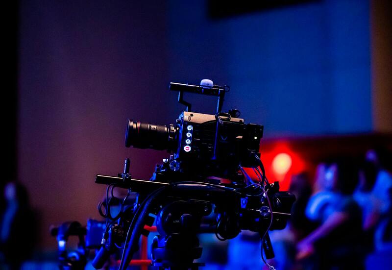
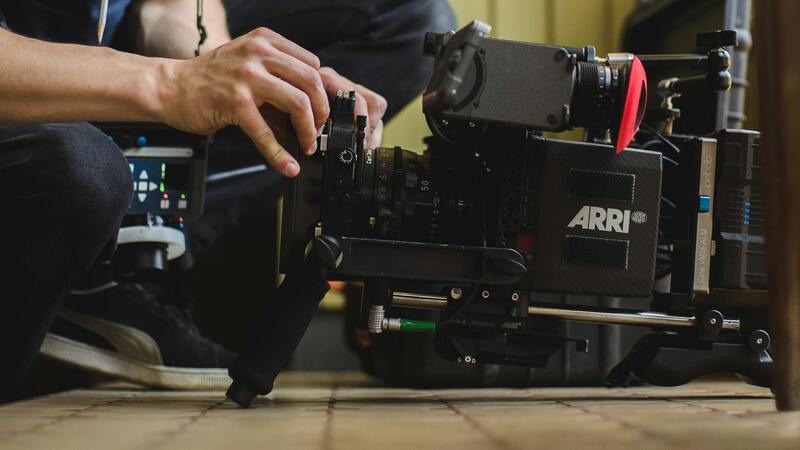
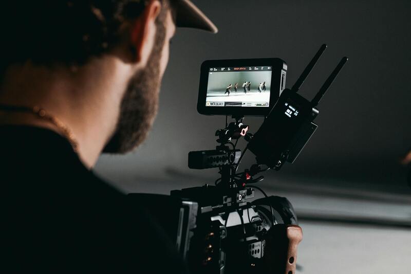
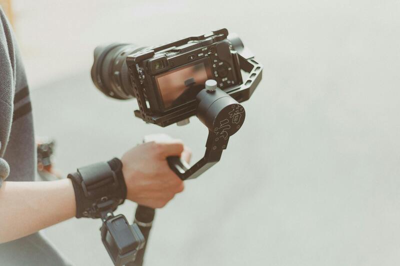
Key features to consider include high-resolution cameras capable of capturing crisp images at 20 megapixels or higher. These cameras facilitate detailed exterior shots and allow for flexible cropping and editing without losing image quality. A gimbal stabilization system is essential for smooth footage, preventing shaky images even in gusty conditions common in Miami’s open spaces.
Flight stability and battery life are also vital, especially for large properties or multiple-shot routines. Look for drones with extended flight times—ideally 25 to 30 minutes per session—to maximize efficiency during shoots. Obstacle avoidance sensors become indispensable in congested or complex environments, ensuring safe operation around structures and nearby trees.
In addition to hardware, software compatibility plays a role. The drone's ability to connect with editing tools and transmit high-quality footage reliably enhances the post-production process. For Miami professionals, investing in versatile, professional-grade drones designed specifically for aerial photography provides the necessary performance for high-impact marketing materials.
Key Specifications for Effective Drone Imaging
- High-resolution, interchangeable camera lenses suitable for varied lighting conditions
- Gimbal stabilization system for smooth footage
- Long flight duration with quick recharge capabilities
- Enhanced obstacle detection and avoidance features
- Robust transmission range for comprehensive site coverage
The right combination of these elements ensures your aerial property visuals meet high standards, effectively highlighting both the architecture and landscape of Miami homes and commercial properties. Carefully assessing these factors helps to optimize your investment and produce compelling content that stands out in a competitive market.
Legal and Regulatory Requirements for Drone Use in Miami
Operating drone technology for real estate photography in Miami necessitates adherence to specific procedural guidelines designed to ensure safe and responsible use. The first step involves registering your drone with the appropriate authorities, which typically includes providing details about the aircraft and its intended usage. Maintaining up-to-date registration documentation is essential for seamless operations and compliance with local standards.
Pilots must implement comprehensive pre-flight planning that considers the environment, flight altitude, and potential obstacles. Conducting thorough site assessments helps identify no-fly zones, such as near airports, heliports, or other protected airspaces within Miami's jurisdiction. Staying informed about temporary restrictions or notices related to special events or emergencies is crucial for uninterrupted service.
Enforcement of drone operations also involves obtaining necessary flight permits when operating in restricted areas or during specific times. Collaborating with local authorities or using official channels to verify permissions prevents operational disruptions and supports responsible drone management.
Maintaining proper safety protocols is vital, which includes ensuring clear visibility, avoiding crowd interference, and respecting the privacy of residents. Pilots should avoid flying over private properties without explicit consent, especially when capturing images for commercial purposes. Regularly updating knowledge about operational guidelines and safety best practices enhances both the integrity of the project and the reputation of service providers.
Implementing Approved Aerial Photography Methods in Miami
To harness the full potential of drone real estate photography, practitioners should utilize methodologies that adhere to established standards and best practices. This involves meticulously planning each flight operation, selecting appropriate equipment, and executing shooting techniques that produce consistently high-quality visuals. A systematic approach ensures that aerial imagery aligns with market expectations and provides a compelling visual narrative of the property.
Pre-flight planning remains a cornerstone of successful drone photography. This includes a detailed assessment of the site to identify optimal flight paths, vantage points, and lighting conditions. Utilizing 3D mapping tools or site surveys can enhance the accuracy of shot planning, thereby capturing expansive views that highlight key property features. Ensuring the drone's camera settings are calibrated correctly—such as resolution, shutter speed, and ISO—helps in capturing sharp, vibrant images suitable for promotional use.
During flight execution, maintaining steady control and avoiding abrupt movements are imperative to prevent image blurring. Utilizing gimbal stabilization technology ensures smooth footage and precise framing, which are critical for professional real estate presentations. Additionally, leveraging automated flight modes, such as waypoint navigation, allows for consistent shot composition and efficient coverage of large or complex properties.
Post-flight, images and footage should undergo meticulous review to select the strongest visual assets. Techniques like color correction, lens correction, and image sharpening can significantly enhance the visual appeal. For videos, integrating smooth transitions, text overlays, and branding elements can create dynamic promotional content that resonates with potential buyers and investors.
Moreover, adhering to scheduled reviews ensures that the content aligns with branding guidelines and property marketing strategies. High-quality drone footage not only attracts more interest but also shortens the sales cycle by providing immersive and engaging property tours online.
Beyond technical execution, maintaining a comprehensive record of flight logs and image metadata supports accountability and organization. This documentation serves as a resource for future campaigns, training, or audits, emphasizing professionalism and transparency in drone operations.
Securing Appropriate Permissions and Documentation for Drone Operations
Implementing drone real estate photography in Miami requires a structured approach to permissions and documentation. Professionals must establish a comprehensive flight plan that considers property location, surrounding airspace, and potential obstructions. This planning ensures smooth operations and minimizes unexpected disruptions. It is essential to maintain clear records of flight plans, operational metadata, and images captured, as these documents serve multiple purposes including quality assurance and operational transparency.
Before each flight, operators should verify that all equipment is properly maintained and calibrated, ensuring optimal performance and safety. Recording serial numbers, maintenance logs, and firmware updates can further support operational integrity. Once the shoot is complete, storing metadata and flight logs facilitates verified documentation of the flight's parameters and adherence to best practices.
Operators should also be prepared to respond to inquiries related to their drone activities, which involves having detailed mission reports and clear visual documentation readily available. This organizational approach enhances trustworthiness and demonstrates a professional commitment to official procedures.

Utilizing Authorized Flight Zones and Air Traffic Control Coordination
While conducting aerial photography for real estate purposes, working within designated flight zones enhances operational efficiency and reduces risks. Miami offers several approved areas where drone activities can be conducted with minimal restrictions. These zones are typically designated for recreational and commercial drone use, providing a legal space for capturing high-quality aerial footage.
To optimize safety and compliance, it is advisable to coordinate with local air traffic control when planning flights in proximity to critical airspaces or near airports. Such coordination involves submitting predetermined flight plans, especially for extensive or high-altitude captures, and adhering to specified communication protocols.
Utilization of map-based tools or official flight zone charts can help identify permitted areas and avoid unauthorized airspace. Establishing clear communication channels with relevant authorities ensures that operations proceed smoothly, avoiding potential interruptions or penalties.
By adhering to authorized zones and maintaining open lines of communication with air traffic controllers, real estate agents and drone operators uphold a high standard of safety and professionalism, ensuring the safety of personnel, property, and the surrounding community.
Official Methods for Drone Real Estate Photography in Miami
In Miami, leveraging drone technology for real estate photography involves adhering to recognized protocols that ensure safety, professionalism, and quality. Professional drone operators typically follow established aerial photography standards, which include detailed pre-flight planning, understanding airspace classifications, and securing necessary permissions. These practices are part of a comprehensive process that guarantees high-resolution imagery and smooth flight operations, supporting effective property marketing strategies.
Authorized drone service providers invest in certified equipment that complies with current industry standards, including advanced stabilization systems, high-precision GPS modules, and regulatory-compliant camera systems. These tools enable the capture of crisp, compelling visuals that showcase properties from multiple angles and elevations, providing prospective buyers with an immersive viewing experience.
Pre-Flight Planning and Coordination
- Mapping and Site Assessment: Examining geographic features and potential obstructions, ensuring coverage of all key property areas.
- Permission Acquisition: Applying for flight permits through official channels, which involve submitting flight plans and specific mission details.
- Weather Analysis: Verifying optimal weather conditions—calm winds and clear skies—to ensure safety and image clarity.
- Communication with Authorities: Engaging with air traffic control to confirm flight zones and obtain clearances for operations near sensitive areas.
Ensuring Data and Image Security
Engaging reputable drone service providers includes a focus on data security. They employ secure storage and transmission protocols to safeguard captured imagery and sensitive property information. This rigorous approach maintains client confidentiality and supports trust in the use of aerial data for marketing campaigns.
Post-Flight Procedures and Quality Assurance
- Data Verification: Confirming the completeness and quality of captured footage and imagery before editing.
- Editing and Compliance: Applying advanced editing techniques—color correction, stabilizing shots, and highlighting property features—while maintaining a realistic presentation.
- Delivery Standards: Providing clients with processed videos and images in specified formats, ensuring compatibility across various listing platforms.

Summary
Successful drone-based real estate marketing in Miami hinges on meticulous planning, adherence to established operational procedures, and continuous adherence to community and industry standards. Clients benefit from expertly captured visuals that are both impactful and compliant, elevating property listings in the competitive Miami real estate market.
