Overview of Residential Drone Photography
Residential drone photography has revolutionized how property owners and real estate professionals capture the beauty, layout, and unique features of homes. Utilizing advanced unmanned aerial vehicles equipped with high-resolution cameras, this photography technique offers an elevated perspective that traditional ground-based photography cannot provide. It allows for comprehensive visual documentation of residential properties, highlighting both the exterior architecture and surrounding landscapes.
This innovative approach caters to multiple applications. For homeowners, drone photography provides an opportunity to showcase their property’s curb appeal through stunning aerial visuals, which can be used for personal portfolios, promotional materials, or simply for personal enjoyment. In the real estate sector, professional drone images significantly enhance property listings, making them more engaging and informative. Such images help potential purchasers see the property in context—spanning the front yard, backyard, and adjoining features—thus enabling a better understanding of the property's spatial relationships.
The rise of residential drone photography can also be attributed to its ability to capture dynamic shots and panoramas. For example, aerial videos combined with high-quality images can deliver virtual tours, making remote property viewing more accessible and efficient. The technology offers a cost-effective solution for providing detailed, attractive visuals that appeal to prospective buyers, investors, or even insurance companies for accurate assessment and documentation.
Furthermore, drone photography extends beyond real estate into areas such as home improvement project documentation, landscaping, and security surveillance. Homeowners increasingly seek aerial views to monitor their property developments or maintain an overall visual record of their land and structures.
Equipment and Technology Used in Residential Drone Photography
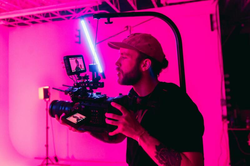
Achieving high-quality aerial images demands the use of advanced drone equipment tailored specifically for residential photography. Modern drones designed for this purpose are equipped with high-resolution cameras capable of capturing crisp, detailed images that showcase a property’s best features from a variety of angles. The integration of gimbal stabilization technology ensures steady shots, even in challenging wind conditions, resulting in smooth footage that highlights both exterior and landscape features.
Beyond camera quality, flight capabilities are a significant factor. Drones equipped with GPS and multiple flight modes allow for precise maneuvering over complex terrains, ensuring comprehensive coverage of the property. Automated flight paths can be pre-programmed, saving time and ensuring consistent results across different shoots. Low-light and HDR (High Dynamic Range) capabilities further enhance image quality, especially during dawn or dusk sessions, capturing vibrant, true-to-life colors.
In addition to the drone itself, ancillary equipment such as portable lighting, additional lenses, and remote monitoring systems can be employed to optimize images in various conditions. Service providers often use software that assists with flight planning and image processing, ensuring seamless workflow from capture to final delivery. The combination of sophisticated hardware and cutting-edge software tools allows for the creation of stunning visual content tailored to the specific needs of homeowners and real estate professionals.
Furthermore, continuous technological advancements introduce features like obstacle avoidance sensors, longer flight times, and quieter propellers, which facilitate safer and more efficient operations in residential environments. This equipment robustness and technological integration are fundamental in delivering consistent, high-quality drone imagery that accurately reflects a home’s value and appeal.
Benefits of Using Drone Photography for Homeowners
For homeowners, employing drone photography offers distinct advantages that go beyond traditional photography methods. Asset visualization is significantly enhanced, providing a comprehensive view of property layouts, landscaping, and surrounding features that are difficult to capture from the ground. This perspective allows homeowners to showcase their properties in a manner that emphasizes their unique characteristics and appeal.
Furthermore, drone images and videos can serve as valuable documentation for insurance purposes, renovation planning, or land management. Dynamic aerial footage can also help homeowners monitor ongoing construction or landscaping projects, ensuring every stage aligns with their vision. When used for marketing or private records, this aerial documentation acts as a detailed visual record that supports decision-making and presentation efforts.
Also, the artistic and engaging nature of aerial photography can significantly increase a property’s market appeal if homeowners decide to sell. Professionally captured drone visuals tend to attract more interest in listings, potentially leading to faster sales and better offers. Additionally, the increasing popularity of aerial imagery in digital media means that home visualizations stand out, creating memorable impressions for prospective buyers or viewers.
Overall, residential drone photography empowers homeowners with comprehensive visuals and documentation tools that elevate property management and presentation, making it an invaluable asset in the modern real estate and property-owning landscape.
Equipment and Technology Used in Residential Drone Photography
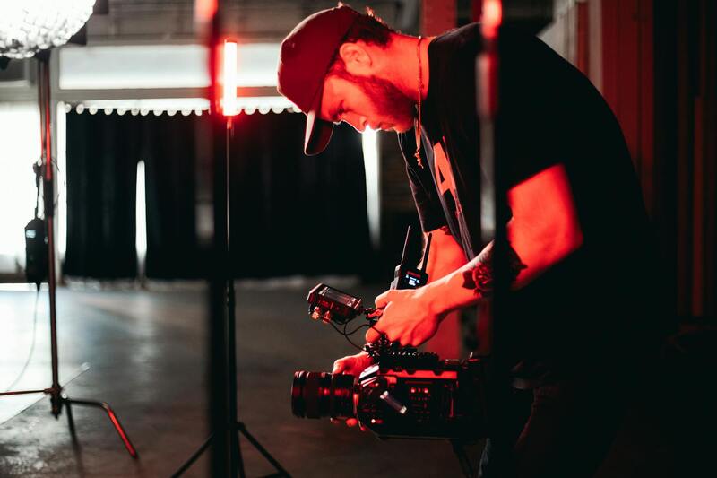
To achieve the high-quality visuals essential for effective residential drone photography, professionals employ a range of advanced equipment and cutting-edge technology. The core component is the drone itself, which must be capable of stable flight, precise maneuverability, and extended flight times to capture comprehensive aerial shots without interruptions. Modern drones designed for photography are equipped with GPS stabilization systems, enabling smooth, steady footage even in challenging wind conditions, which is crucial for maintaining image clarity and professional results.
Camera selection is equally important. High-resolution sensors, often between 12 to 48 megapixels, allow for detailed imagery that can be used in both digital and print formats. For video, 4K resolution at high frame rates ensures sharp, cinematic-quality footage capable of showcasing neighborhoods, landscaping, and property features vividly. Utilizing cameras with gimbal stabilization is crucial, as it minimizes vibrations and jitters, resulting in smooth footage that highlights property features seamlessly.

Accessory equipment also enhances the quality and versatility of drone photography. Filters, such as ND filters, help control exposure and prevent overexposure during bright sunny conditions, ensuring optimal image quality. Extra batteries are necessary to extend flight time, allowing multiple shots or continuous sessions without lengthy downtimes. Additionally, portable lighting equipment can assist in illuminating specific features or interiors when needed for live or staged shoots.
For optimal results, professionals use higher-end drones that integrate sophisticated obstacle detection and avoidance systems. These technologies increase safety and efficiency when navigating complex environments like backyard trees or tight space areas. Moreover, the use of specialized control software provides precise flight planning, ensuring comprehensive and consistent coverage of the property, including multiple angles and elevations.
Investing in the appropriate equipment and staying updated with the latest technological advances help ensure that residential drone photography remains proficient, reliable, and aligned with industry standards. This combination of hardware and software enables professionals to deliver compelling, detailed, and engaging aerial content tailored to homeowners' specific needs.
Methods to Ensure Proper and Effective Residential Drone Photography
To maximize the impact of residential drone photography, professionals rely on precise techniques and systematic approaches that guarantee high-quality results. These methods not only enhance the visual appeal of the property but also ensure the shots are consistent, detailed, and capable of showcasing the property's unique features from various perspectives.
Pre-Flight Planning and Site Analysis
Effective drone photography begins with comprehensive pre-flight planning. This involves analyzing the property layout, identifying potential obstacles such as trees, power lines, or structures, and determining the optimal angles and elevations for capturing the residence. Professionals often utilize detailed site maps and aerial imaging to strategize flight paths that encompass all critical areas of the property. This preparation helps in executing smooth, efficient flights that maximize coverage while minimizing the risk of mishaps during operation.
Professional Flight Execution
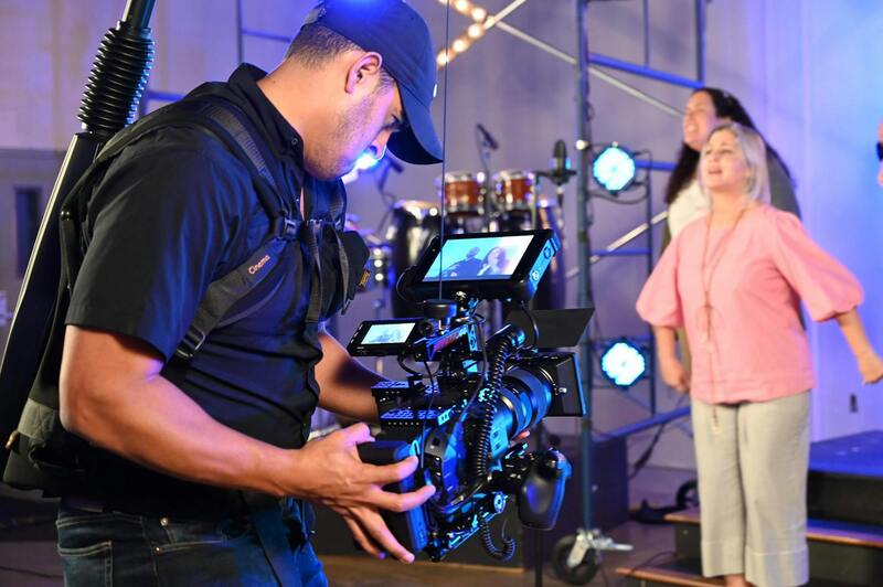
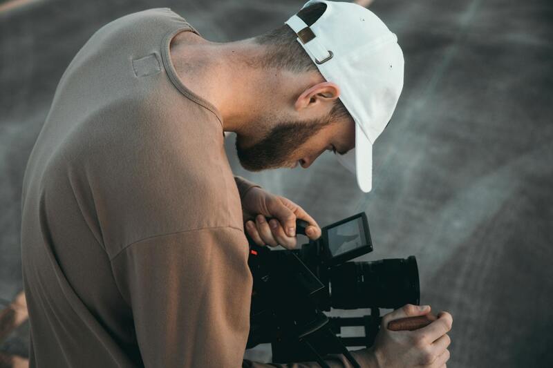
Executing drone flights with precision is essential for acquiring high-quality images. Operators utilize advanced flight planning software that allows delineation of specific waypoints, altitude levels, and camera angles. This ensures comprehensive coverage of the property, including unique architectural features, landscaping elements, and surrounding environment. During flight, real-time monitoring helps detect any unforeseen obstacles or issues, providing the opportunity to adjust and maintain safety and shot quality.
Optimal Camera Settings and Shooting Techniques
Achieving professional-grade images necessitates careful adjustment of camera settings. Utilizing the appropriate ISO, shutter speed, aperture, and white balance settings enhances image clarity, color accuracy, and exposure control. Especially in conditions with varied lighting, filters such as neutral density (ND) filters can be employed to regulate light intake, resulting in sharper images with balanced exposure. Additionally, employing techniques like bracketing for HDR (High Dynamic Range) shots ensures that both shadows and highlights are well-captured, offering versatility in post-processing.
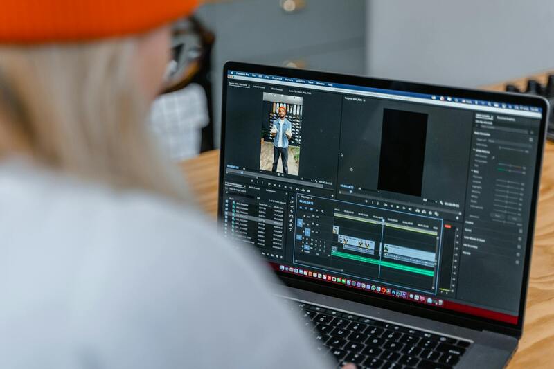
Post-Processing and Image Refinement
After capturing the aerial footage, post-processing plays a crucial role in enhancing the final visuals. Professionals use advanced editing software to correct colors, adjust brightness and contrast, and sharpen details. They may also remove any minor visual imperfections and stitch multiple images into seamless panoramas or composite shots. This step ensures that the visuals are polished, consistent, and ready for various applications, whether for real estate marketing, documentation, or promotional campaigns.
Adherence to Professional Standards and Industry Norms
Maintaining consistency with industry standards involves regular training and staying updated with the latest technological advancements. Certified drone operators follow established best practices for flight safety, image quality, and data management. They also respect privacy considerations by obtaining necessary permissions and ensuring that the captured visuals do not infringe on personal or proprietary boundaries.
Applications of Residential Drone Photography in Real Estate
Enhancing Property Listings
High-quality aerial imagery captured through residential drone photography significantly improves property listings by providing prospective buyers with a comprehensive view of the property and its surroundings. Drone footage showcases the property’s exterior features, landscaping, pool areas, and even neighboring amenities that are often difficult to capture with traditional photography. This enriched visual presentation attracts more attention and encourages faster engagement from potential buyers.
Virtual Tours and Interactive Marketing
Drone photography facilitates the creation of immersive virtual tours, allowing viewers to navigate around the property remotely. Such dynamic content offers a realistic perspective, helping buyers assess the property's layout, spatial relationships, and overall appeal without needing an initial physical visit. The incorporation of 360-degree panoramic images further enhances the viewer experience, making it a powerful marketing tool in today’s competitive real estate market.
Documenting Property Condition and Improvements
Residential drone footage serves as an effective method for documenting the current condition of a property, which is especially advantageous during renovations, large-scale landscaping projects, or before and after comparisons. Consistent aerial documentation supports transparency and provides documentation for property management or insurance purposes.
Targeted Marketing Strategies
Drone visuals enable real estate professionals to craft targeted marketing campaigns aimed at specific buyer demographics. By highlighting unique property features, proximity to key landmarks, and community amenities, agents can tailor their advertising to appeal to prospective buyers’ preferences. The captivating aerial content also enhances social media campaigns, increasing engagement and reach across digital platforms.
Supporting Local and Commercial Development
Beyond individual homes, residential drone photography supports broader community development projects. It assists city planners, developers, and architects in visualizing project layouts, assessing environmental impacts, and communicating ideas effectively to stakeholders. This integration of drone technology contributes to more informed decision-making and efficient planning processes.
Ensuring Safety and Compliance in Residential Drone Photography
Executing successful residential drone photography involves a strategic approach that emphasizes safety, adherence to official procedures, and technical proficiency. Homeowners and service providers must prioritize secure flight operations to prevent accidents and protect property and residents. This entails understanding designated restrictions, maintaining clear communication, and employing safety features integrated into modern drone technologies.
Clear communication with property occupants is essential before commencing drone flights. Providing comprehensive information about flight times, altitudes, and flight paths helps prevent misunderstandings and fosters a cooperative environment. Additionally, establishing no-fly zones around sensitive areas such as swimming pools, private outdoor spaces, and nearby wildlife habitats ensures that the operation respects privacy and environmental considerations.
Implementing safety protocols involves using advanced drone features like automatic return-to-home, obstacle avoidance sensors, and geo-fencing settings to prevent accidents. Conducting pre-flight risk assessments and checking weather conditions are crucial steps that reduce potential hazards. Wind speed, visibility, and temperature should be monitored to maintain optimal flying conditions, ensuring smooth maneuvering and capturing high-quality images without disruption.
For operators performing residential drone photography in Miami, obtaining necessary permissions from local authorities and property owners is a vital part of workflow. This includes completing any required application procedures and following specified altitude restrictions and designated flight paths. Maintaining certifications and adhering to official flight operation standards guarantees professional integrity and consistent quality of service.
Furthermore, drone operators should prioritize data security and privacy. Ensuring that aerial footage is stored securely, and that data sharing complies with relevant guidelines, helps in maintaining client trust and integrity of the project. Implementing encrypted data transmission and secure storage solutions is an effective approach to protecting sensitive images and videos captured during residential shoots.
Incorporating professional training in drone piloting enhances operational proficiency, minimizes risks, and ensures adherence to all safety standards. Such training often covers emergency procedures, flight control under various weather conditions, and guidelines for capturing precise footage. Regularly updating skills through continued education and workshops keeps operators aligned with evolving technology and safety practices.
To achieve consistent results, a detailed flight plan should be drafted prior to each project. This includes identifying key angles, preferred lighting conditions, and specific property features to highlight. For instance, early morning or late afternoon often offers the ideal natural lighting for warm, inviting visuals. Planning drone paths to cover all relevant perspectives ensures comprehensive property documentation and marketing potential.
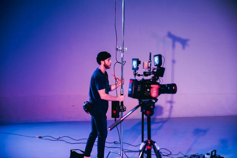
Proper maintenance and regular calibration of drone equipment are necessary for optimal performance. Routine inspections, software updates, and battery checks prevent malfunctions mid-flight and help maintain the reliability of the imaging process. Utilizing high-quality cameras with stabilizing gimbals enhances image clarity and reduces motion blur, delivering professional-grade visuals for residential properties.
Finally, collaboration with experienced drone service providers can streamline operations and ensure compliance with all safety and regulatory standards. Professional agencies in Miami specializing in residential drone photography possess the expertise, technology, and certifications necessary to execute projects safely and effectively. Their comprehensive services include pre-flight planning, aerial shot execution, and post-production quality assurance, ensuring clients receive top-tier results without the burden of managing complex safety procedures internally.
Best Practices and Tips for Successful Drone Shots
Achieving high-quality residential drone photography requires meticulous planning, strategic execution, and a keen eye for detail. Proper preparation begins with a thorough understanding of the property’s unique features and the desired visual narrative. Before launching the drone, it is essential to analyze weather conditions, ensuring clear skies and minimal wind, which contribute to sharper images and safer flights.
Strategic flight path planning plays a pivotal role in capturing comprehensive and compelling visuals. A well-structured flight plan ensures coverage from multiple angles, including overhead shots that emphasize the property's layout, as well as lateral shots that showcase architectural details. Early morning or late afternoon hours are often preferred due to the soft, warm lighting conditions, which enhance the property's curb appeal and create inviting imagery.
During the shoot, maintaining a consistent altitude and camera angle helps produce cohesive visuals that can be effectively stitched together in post-production. Utilizing automated flight modes, such as waypoint navigation or orbit, can improve stability and precision, especially for complex shots around substantial structures or landscaping features. Precision control over camera movements, including tilt and zoom, enables capturing dynamic perspectives that highlight the property's best attributes.
Post-flight, image quality can be enhanced through careful editing. Adjustments to brightness, contrast, and color balance can make photos more vibrant and appealing. Additionally, stitching multiple images into panoramas or creating 3D virtual tours helps deliver immersive experiences that resonate with prospective homeowners and real estate professionals alike.
Safety remains a top priority throughout the process. Consistent adherence to pre-established flight boundaries, maintaining a safe distance from structures and utilities, and following proper altitude restrictions mitigate risks. Experienced drone operators in Miami employ advanced safety protocols, including real-time monitoring of airspace and weather updates, to prevent accidents and ensure the integrity of the shoot.
Off-Platform Methods to Showcase Residential Properties with Drone Photography
While authorized drone flights provide breathtaking aerial views, integrating these images into broader marketing strategies can significantly enhance a property’s appeal without requiring direct drone operation by homeowners. Professional drone service providers and real estate marketers employ a suite of proven, compliant methods to showcase residential properties effectively, ensuring captivating visuals that adhere to established standards.
Utilizing High-Quality Post-Processed Imagery
One primary approach involves the use of high-resolution images and videos captured by licensed drone operators, then further refined through professional editing. Skilled editors enhance lighting, color balance, and perspective to create engaging virtual tours or static images. This process allows homeowners and agents to present their properties in the most compelling light, emphasizing unique architectural features, landscaped gardens, and surrounding amenities.
Stitching Aerial Photography into Panoramic Visuals
Advanced software tools enable the merging of multiple aerial shots into seamless panoramic images. These panoramas offer comprehensive views of the property's exterior and its environment, providing potential buyers with immersive visual experiences. They can be integrated into online listings, social media advertisements, or virtual walkthroughs, creating a captivating narrative around the property without necessitating in-person visits.
Development of Interactive Virtual Tours and 3D Models
Employing photogrammetry, professionals construct 3D models and virtual walkthroughs from drone-captured images. These models allow viewers to explore the property remotely, observing details from various angles at their own pace. High-quality virtual tours increase engagement, facilitate informed decision-making, and attract a broader audience, especially for remote or international buyers.
Incorporating Aerial Footage into Marketing Collateral
Many real estate agencies utilize professionally produced aerial videos as part of their digital marketing efforts. These videos are crafted using footage obtained from authorized drone operators, then edited with cinematic techniques to highlight a property’s grandeur and setting. Such videos serve as compelling advertisements on websites, social media platforms, and email campaigns, drawing viewers’ attention and enhancing the property's visibility.
Partnerships with Licensed Drone Operators and Agencies
Engaging licensed drone service providers ensures access to high-quality imagery while maintaining compliance with all operational guidelines. These specialized companies bring extensive experience in capturing optimal shots, editing footage for maximum impact, and advising clients on the most effective visual strategies. This collaborative approach ensures homeowners’ properties are presented professionally and attractively, aligning with industry standards.
Additional Considerations
- Scheduling shoots during optimal lighting conditions, such as golden hour, enhances visual appeal.
- Ensuring consistent branding and storytelling across all media assets maximizes marketing coherence.
- Utilizing aerial images in open houses or virtual showings increases buyer engagement and interest.
Through these off-platform strategies, homeowners and real estate professionals can leverage the power of residential drone photography to elevate marketing efforts, attract more prospective buyers, and showcase properties compellingly while respecting operational guidelines in Miami.
